The Geospatial Lens
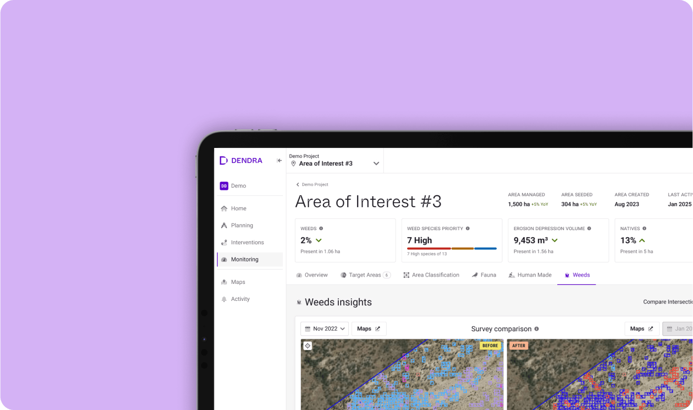
Comprehensive terrain analysis
Understand the lay of the land – every single hectare of it. View geospatial data insights with detailed reporting of topographical features, from rills and gullies to vegetation coverage.
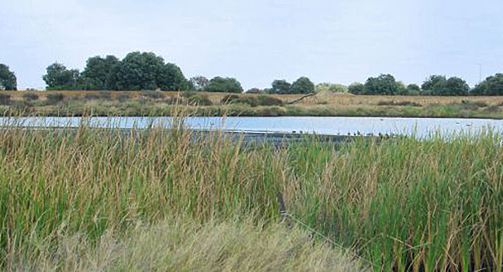
Area classification
Gain a complete picture of the ground coverage, identifying water, trees, shrubs, grasses and bare land, as well as any man-made structures.
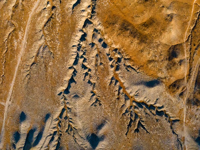
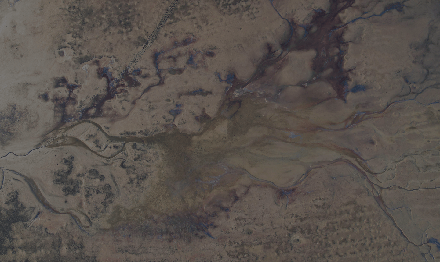
Dendra Erosion. Fill the data gaps.
Create heatmaps showing volumetric data with LiDAR. Assess rills, gullies and sediment movement and detect potential erosion threats before they become a problem.
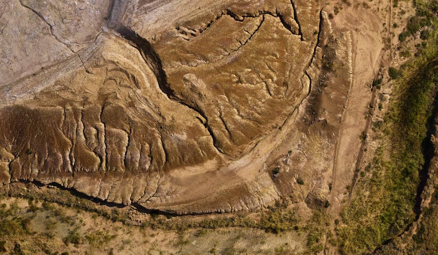
Every high, low and plateau
Record the elevations of the entire ecosystem, captured in an interactive 3D map showing all slopes and depressions.
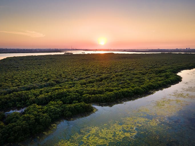
AI powered
Throw new light on vegetation health
Monitor the height and health of vegetation with multispectral imaging, using near-infrared and red-edge wavelengths to capture details that aren't visible to the human eye.