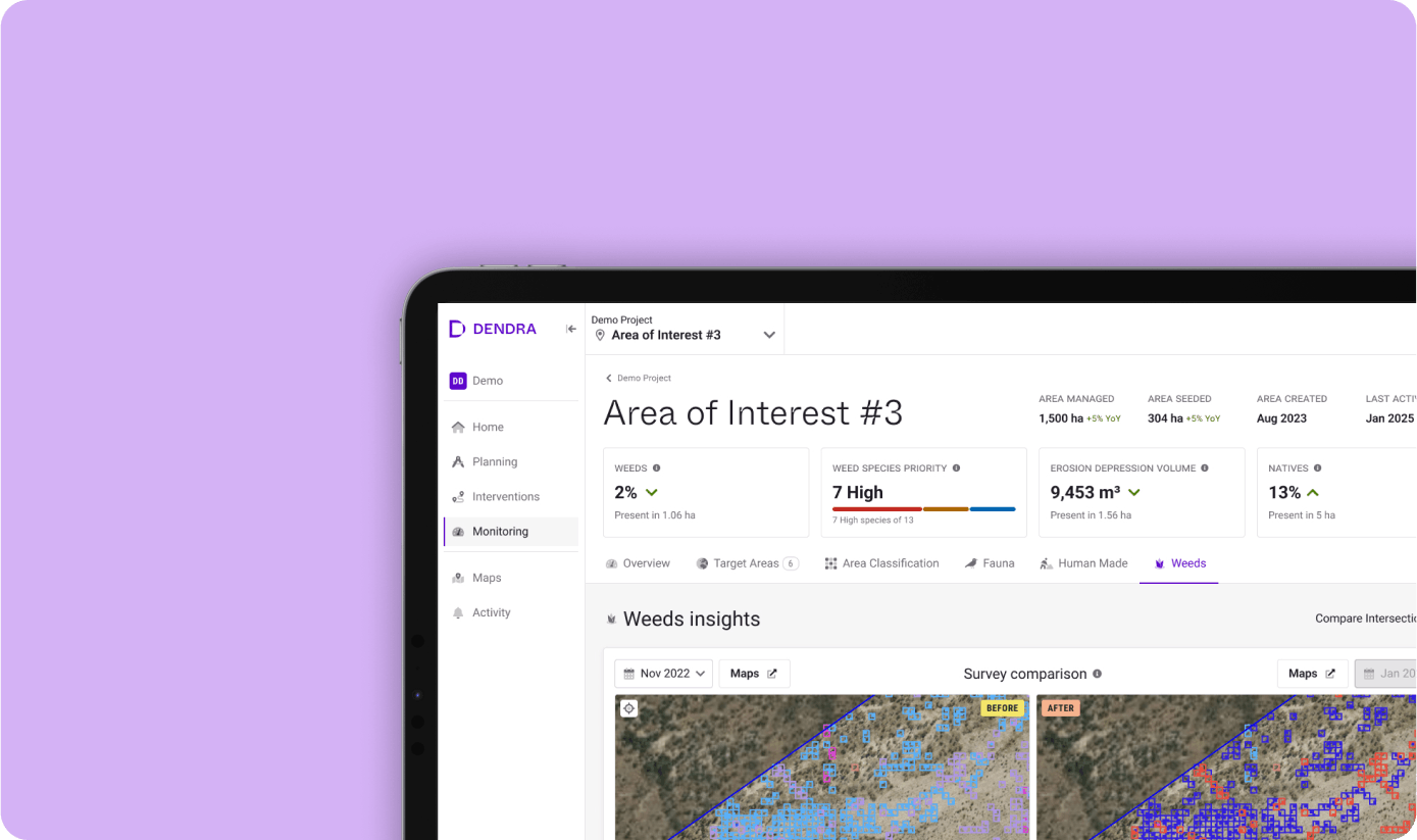
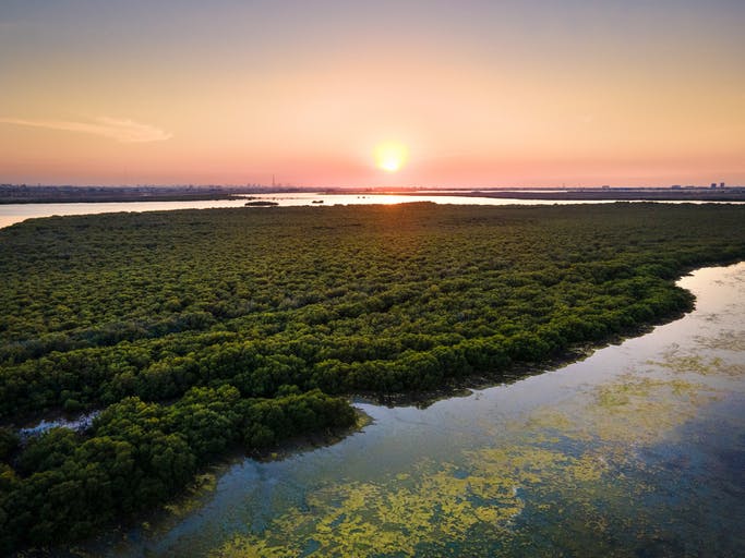
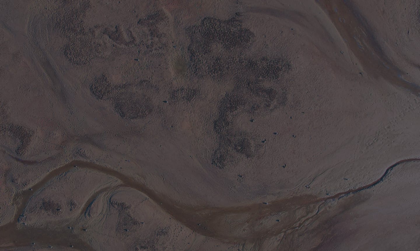
The Macro Lens
Ecosystem-wide mapping
See the big picture. Zoom in on the smallest details. Create an ultra-high-resolution map of your site to better understand your ecosystem as a whole.
See the wood, and the trees
Zoom in on an individual leaf or pan out to see an ecosystem from the air with ultra-high-resolution imagery.
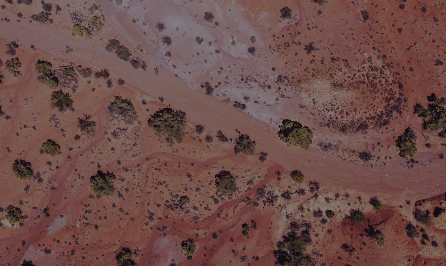
4mm
Ground shown with every pixel on our map.
5,350x
more powerful than 30m² satellite resolution.
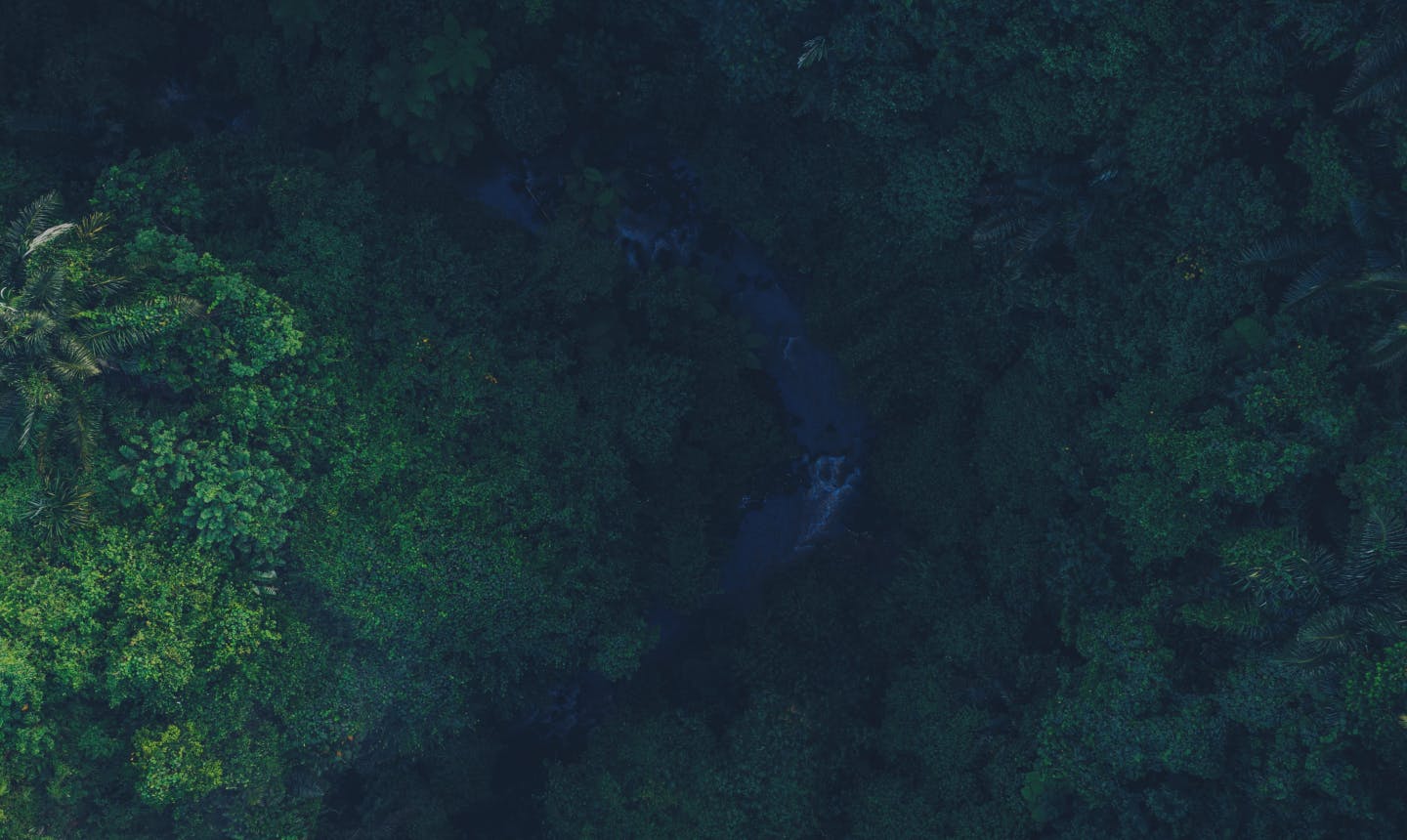
Map everything. Miss nothing.
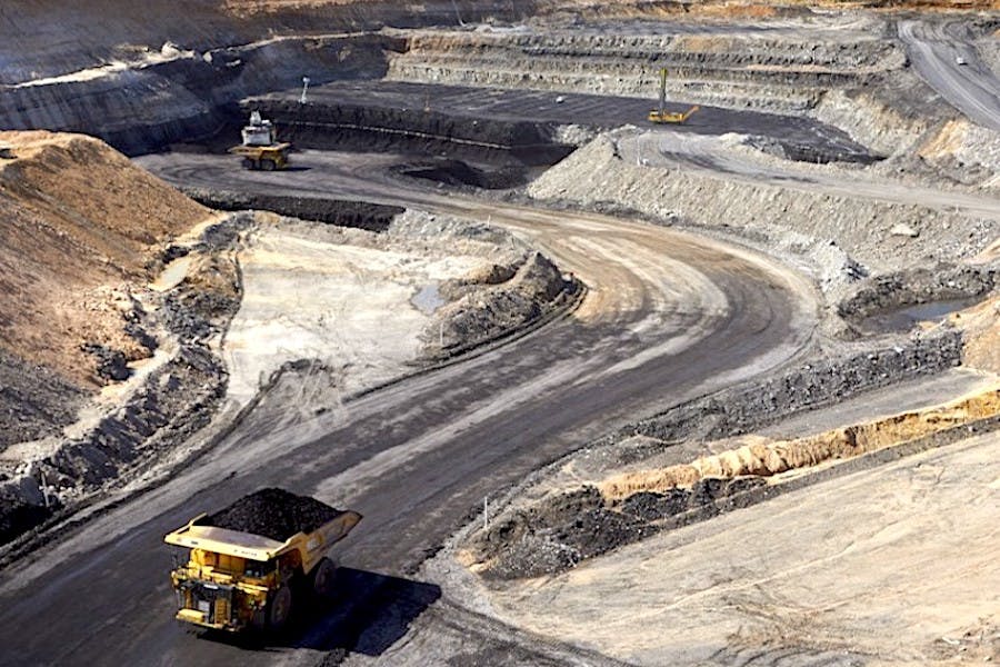
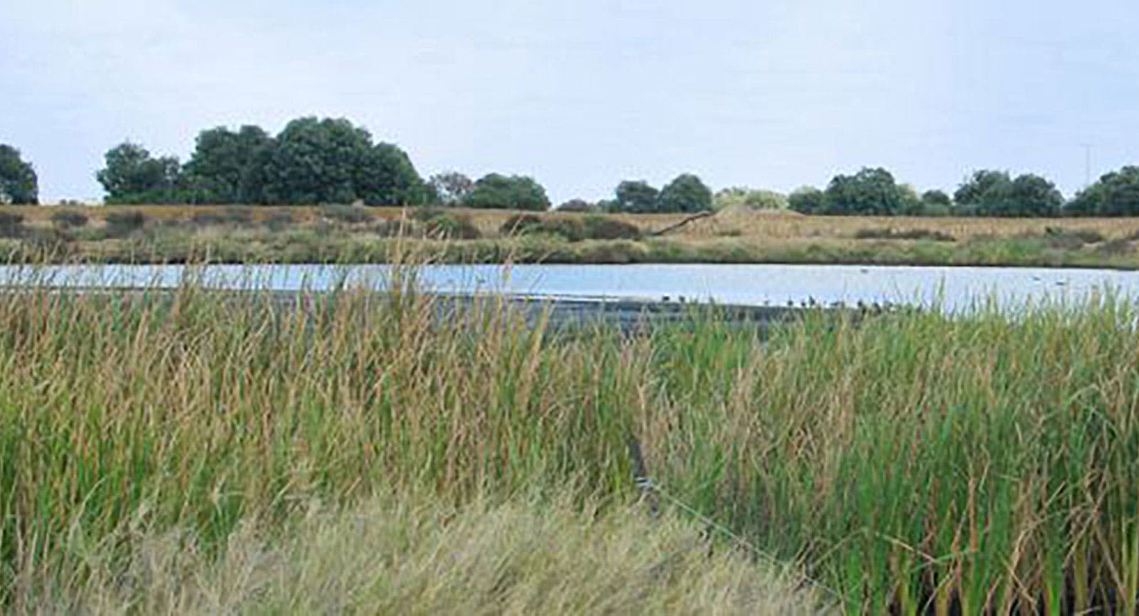
Survey every inch of your ecosystem. Analyse those remote or dangerous areas inaccessible by foot.
100% coverage
Compared to 1% using traditional survey method
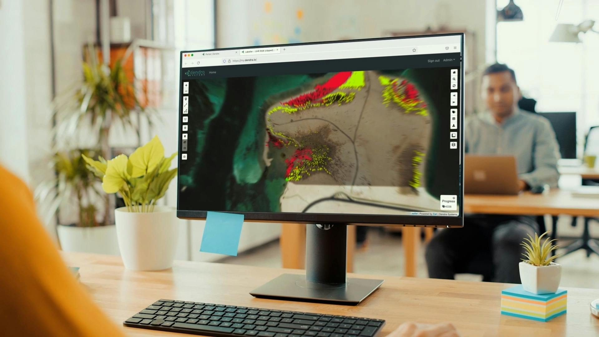
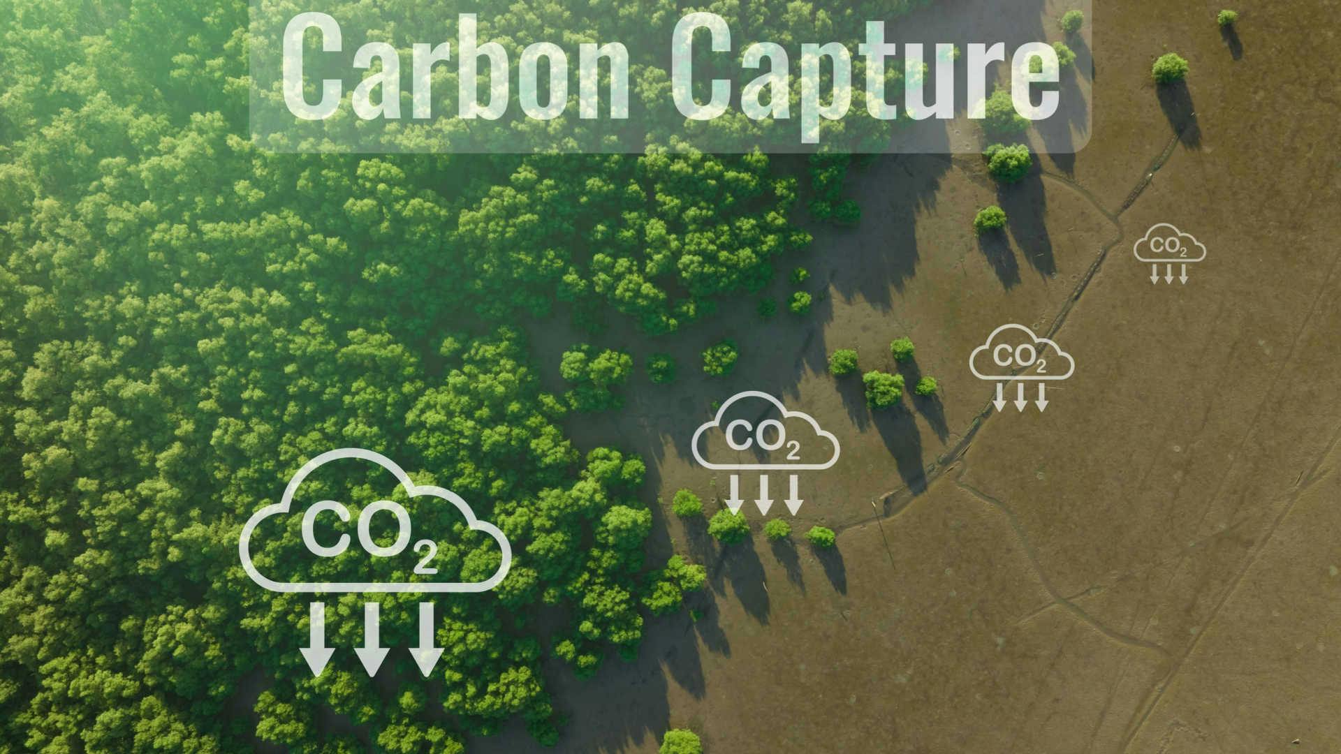
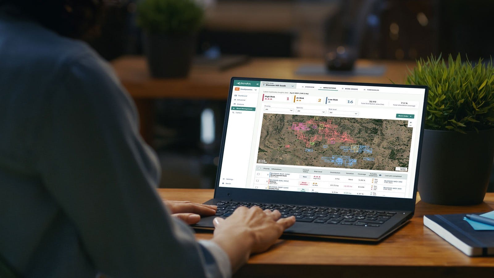
The data’s in the detail
Overlay different data onto your map – such as multispectral imaging or vegetation models – for a more complete, comprehensive overview and to enable ongoing landscape monitoring.