Providing data insights critical to ecosystem restoration on Lord Howe Island
The Customer
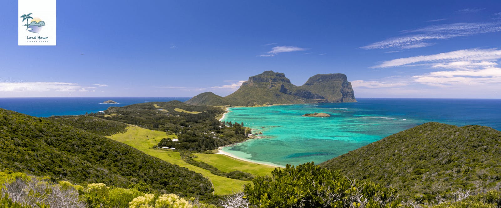
Lord Howe Island Oceanic Island Group is a World Heritage Property located 781km north-east of Sydney, Australia. It is recognized for its outstanding universal values and unique biota supporting a high level of endemic and threatened species; in both the marine and terrestrial environments.
The LHI Board is the administrative jurisdiction of LHI, responsible for provision of services for a resident community of 350 people and responsible for the care and protection of the islands environment. The LHIB reports to the International Union for the Conservation of Nature (IUCN) on the islands conservation outlook and management.
The LHI Board along with the community have been successful at reversing the trend of ecosystem decline and aiding the recovery of endangered species. This has mostly involved the eradication of invasive species (10 weeds – limited in extent, pigs, goats, myrtle rust and recently rodents). With $13M invested since 2004 the abundance of ten – more widespread and ecosystem destructive weeds has be depleted island scale; with the Weed Eradication Program (WEP) reaching midpoint of a projected 30yr period.
Challenge
Managing the cascade effect of residual weeds in an environment recently eradicated of rodents poses a new time driven challenge for the Lord Howe Island (LHI) Board, Weed Eradication Program.
The WEP has depleted priority weed infestations by 90% in the past 15 years; with teams systematically grid searching and geo-referencing each weed removed. The challenge now is to efficiently detect remote and residual populations of weeds such as Ground Asparagus to prevent their spread. Steep cliffs and rugged terrain pose access constraints but a comprehensive, full-island assessment is critical to achieve eradication.
Solution
Dendra was chosen because it offers a more scalable, cost-effective monitoring solution which ultra high resolution imagery across the priority areas of Oceanic Rainforest on LHI. Afterwards, Dendra’s AI-based technology has transformed this imagery into insights to detect, quantify, and geotag priority weed species.
All the information will be accessed through MyDendra, a comprehensive data visualization and analytics portal and will provide the LHI Board with a validated plan to enable ‘rapid response’ to control residual weed populations. This will save money, time, effort and ultimately advance the eradication of weeds. Weed monitoring will be rapid, island – scalable and efficient.
Results
With Dendra Systems the LHI Board has the opportunity to efficiently detect and accelerate the eradication of priority invasive weeds. Dendra Systems will accurately identify, locate, and quantify known, new, and emerging weed risks; important in an environment freed of rodents.
By using a comprehensive method to map plant communities across all terrain from the steep cliffs to the more undulating slopes; down to every single leaf, they are able to provide landscape scale aerial assessment with data analytics that will take just three months to detect priority weeds, replacing a process which could take years.
Benefits
- Full-island analysis takes months not years
- Geotagged species identification means analysis easily translates to action.
- Species quantification makes clear the scale of ecosystem threats and restoration progress.
- Automated data collection reduces personnel risks over difficult terrain.
- Centralized and accessible insight portal makes monitoring over time easy and enables time trend analysis, a crucial facet of ecosystem restoration.
"LHI is a very beautiful place, rightly recognized as one of the last remaining paradises on earth that is well worth protecting. Dendra Systems is bringing new technology to the island that will improve the success of the LHI Weed Eradication Program. Together we are working on a strategy to ensure the exceptional island ecosystems and World Heritage values are preserved long term and we are confident that Dendra's assistance will helps us to achieve our goal." - Sue Bower, Team Leader Flora/ Weeds Biosecurity - Lord Howe Island Board