
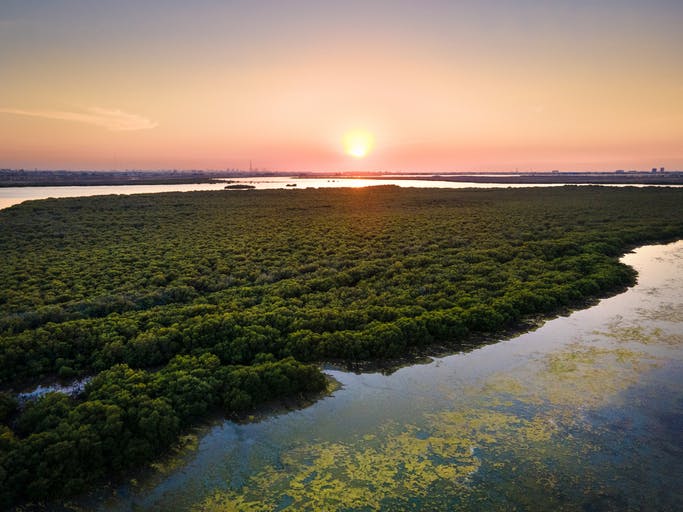
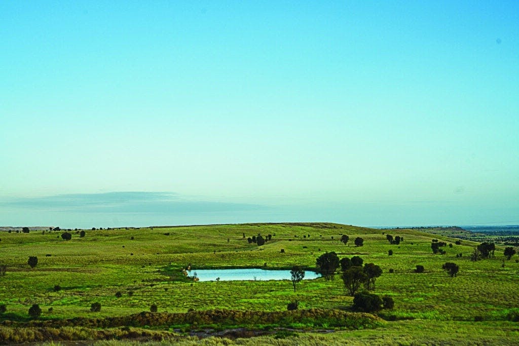
Environmental management, elevated
Supercharge your services with ultra-high-resolution maps and AI-powered insights using a platform designed for large-scale environmental management.
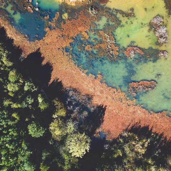


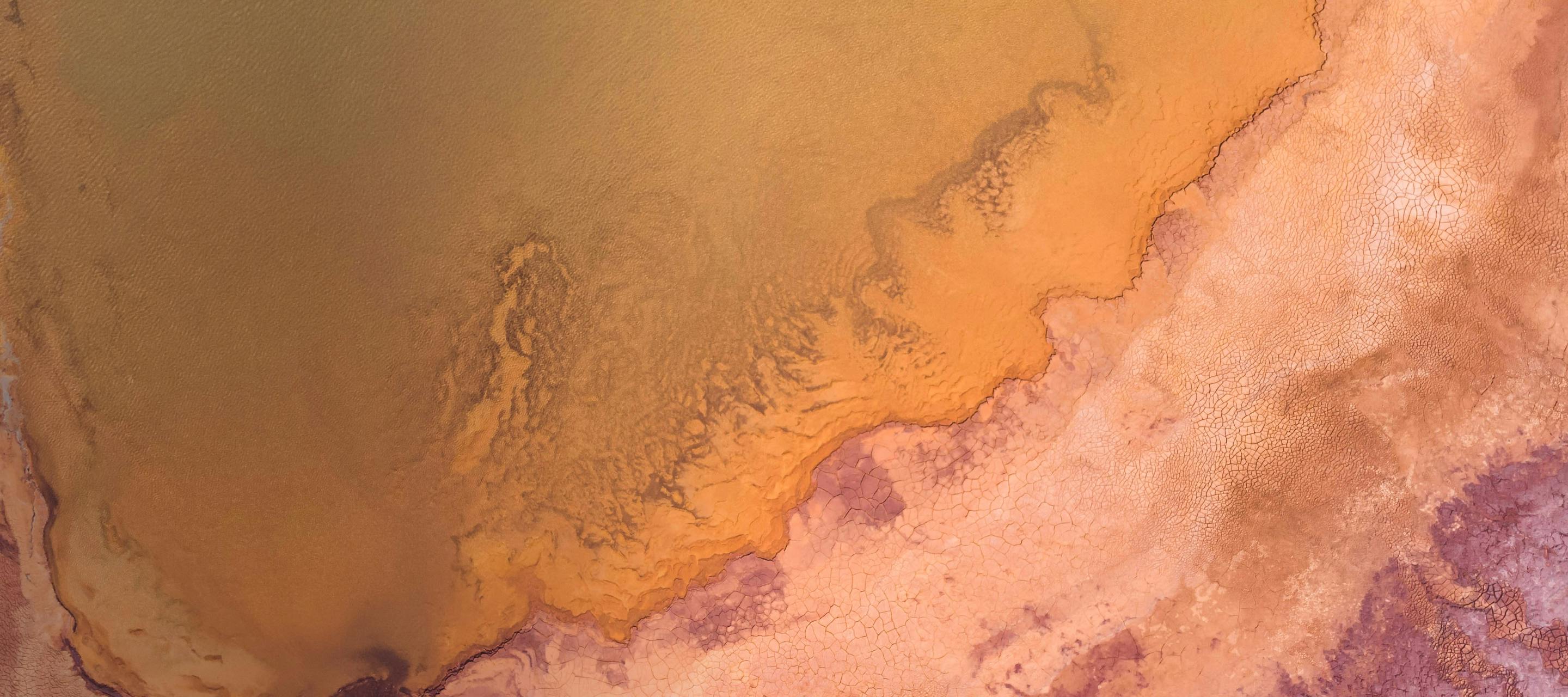
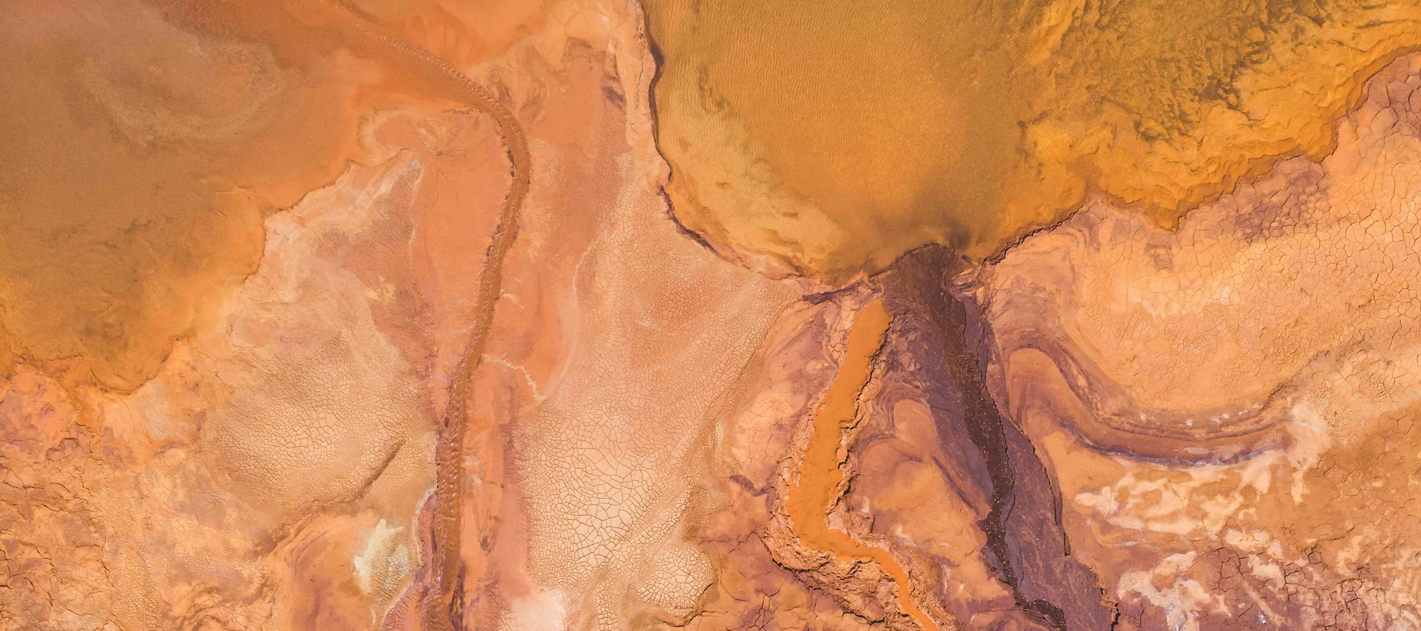
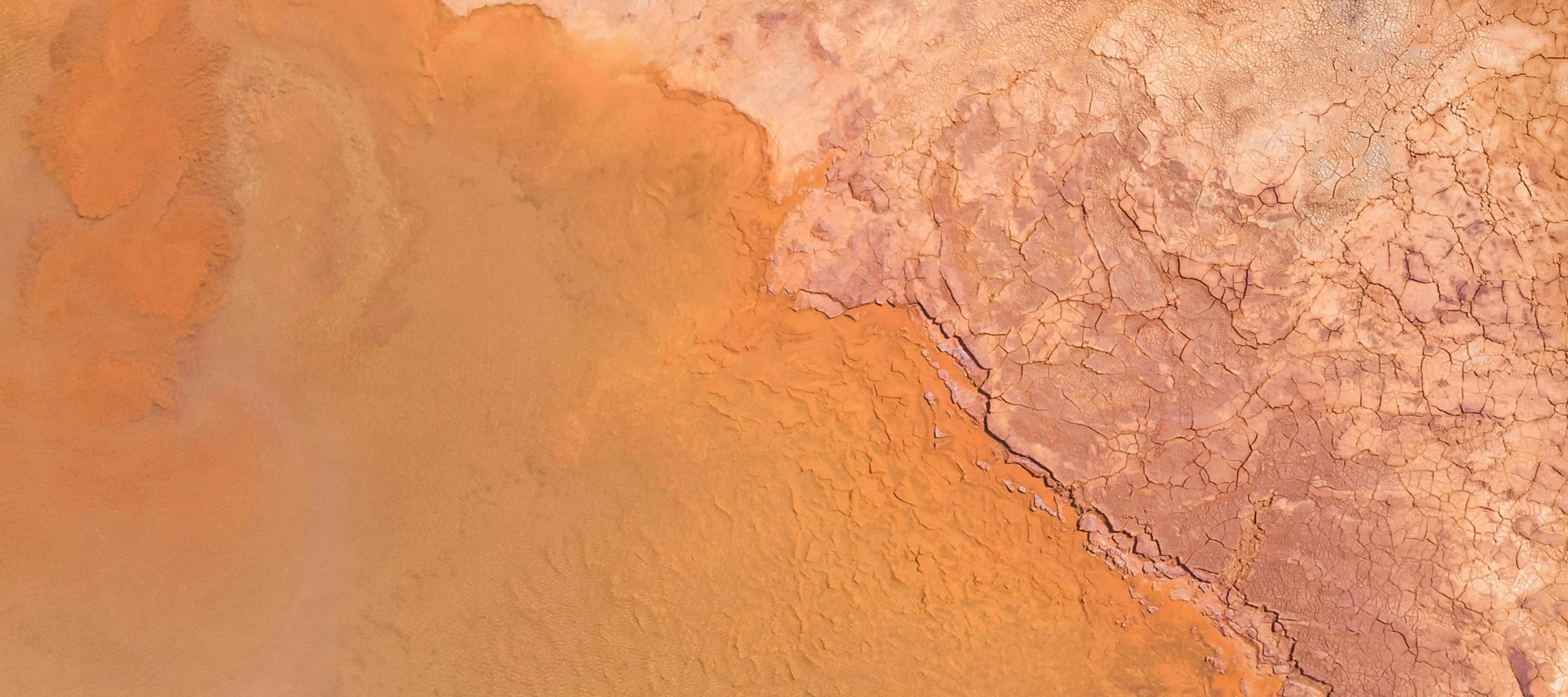
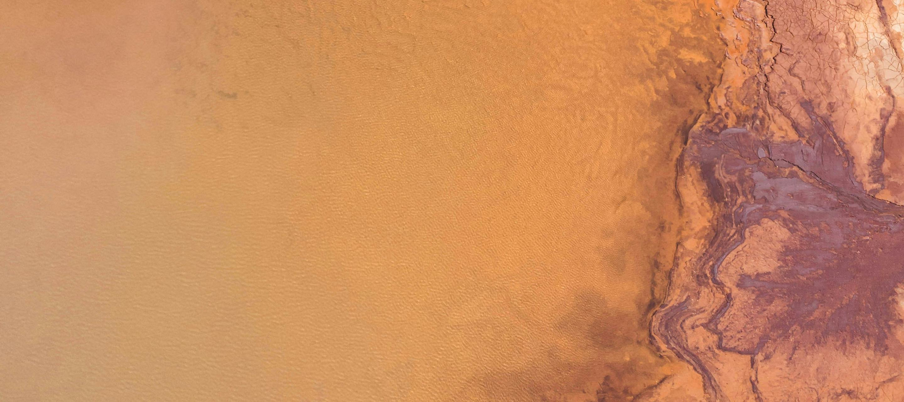
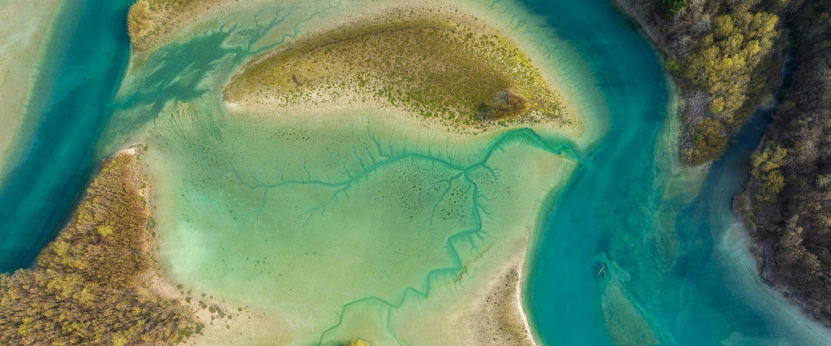
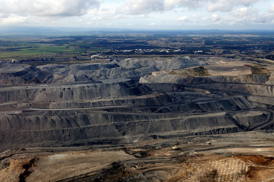
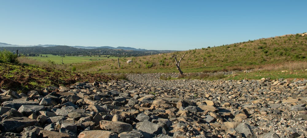
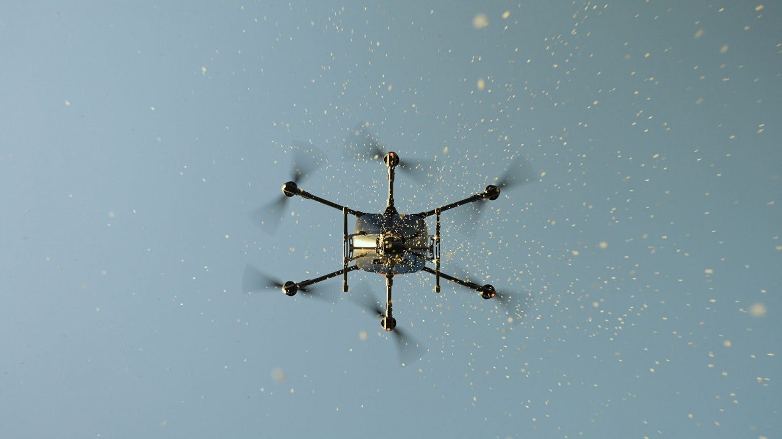
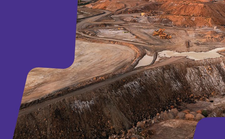
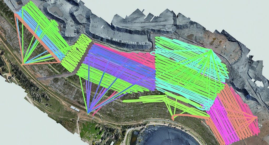
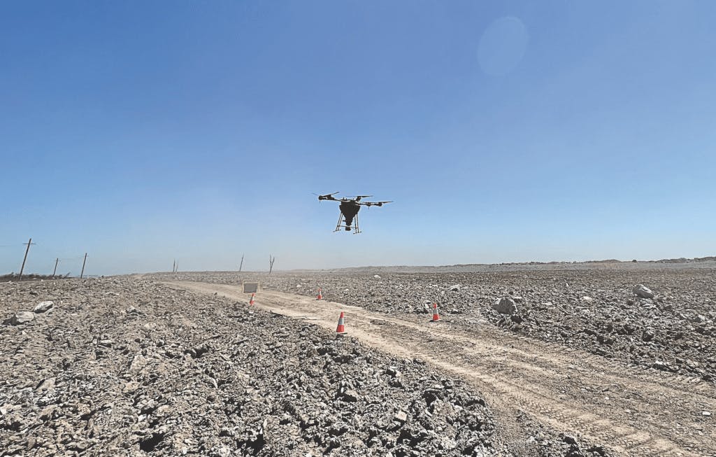
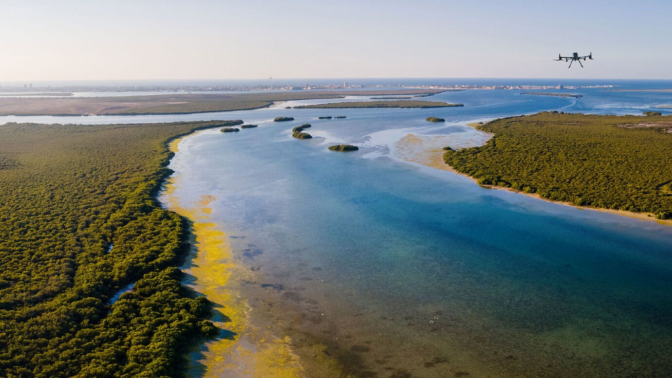
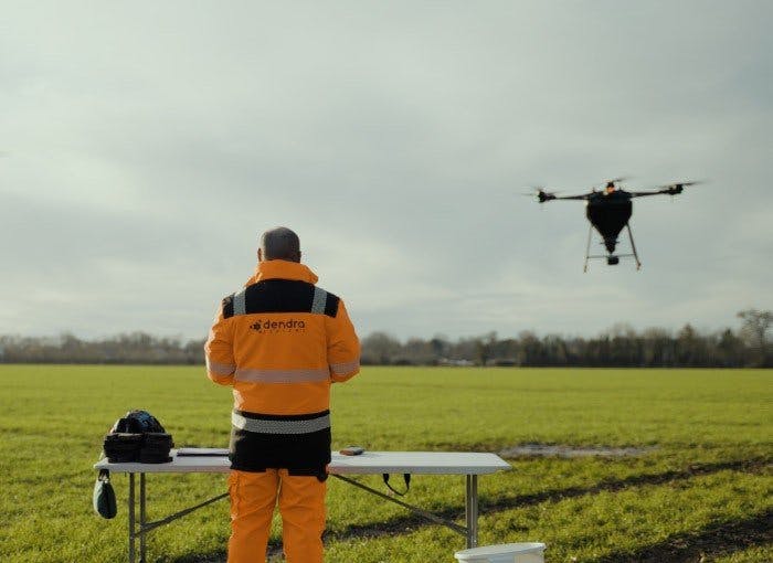
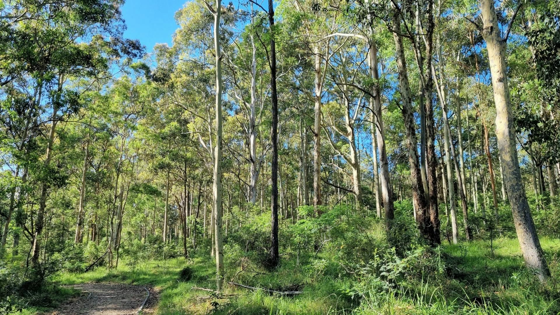
Survey 100% of large-scale sites enabling you to analyse remote or dangerous places, and to perform digital flyovers from your desktop.
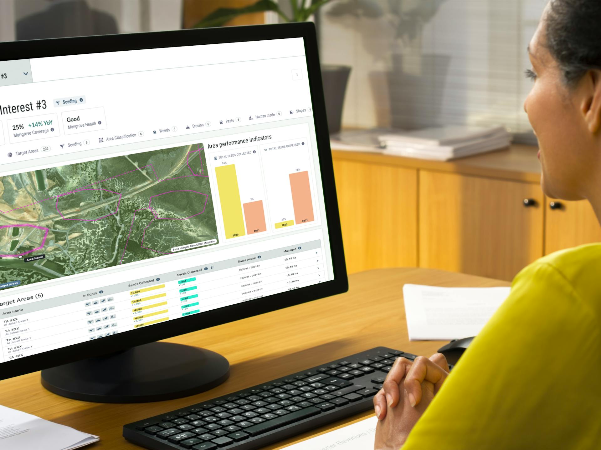
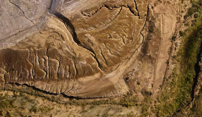
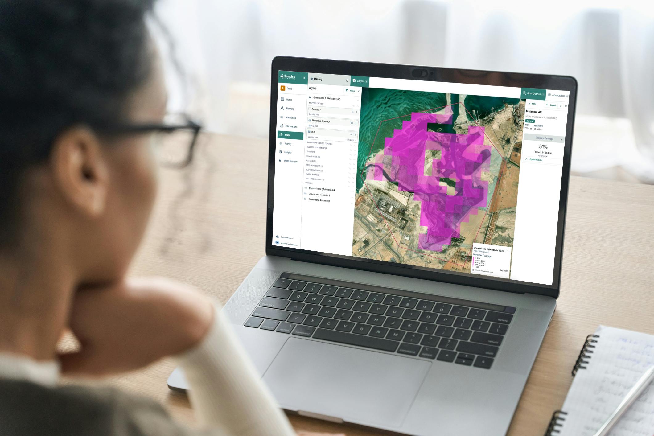
Access ultra high-resolution-maps, ecology-trained AI and remote sensing data on our powerful platform.
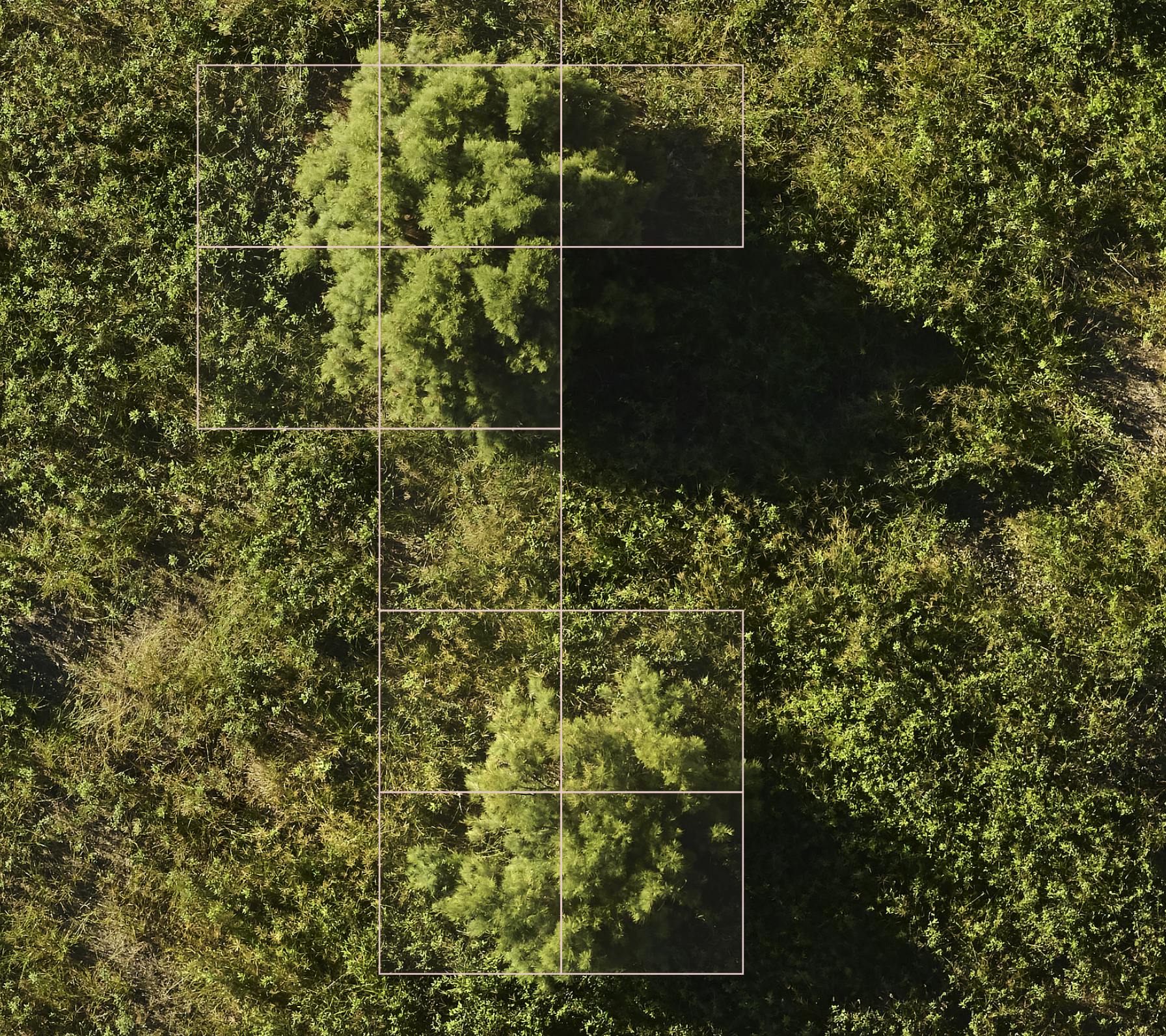
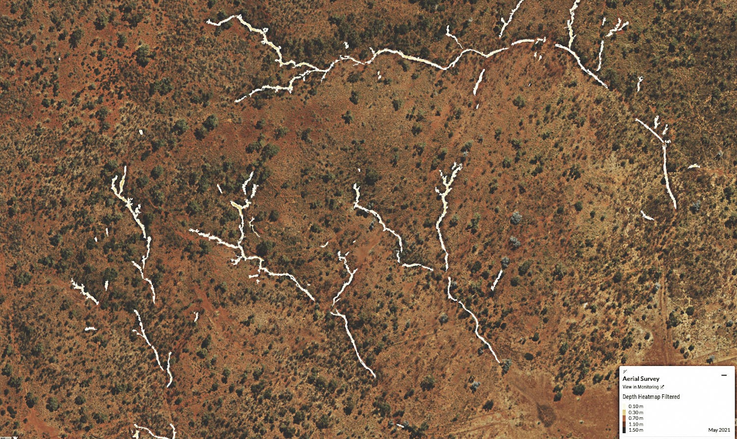
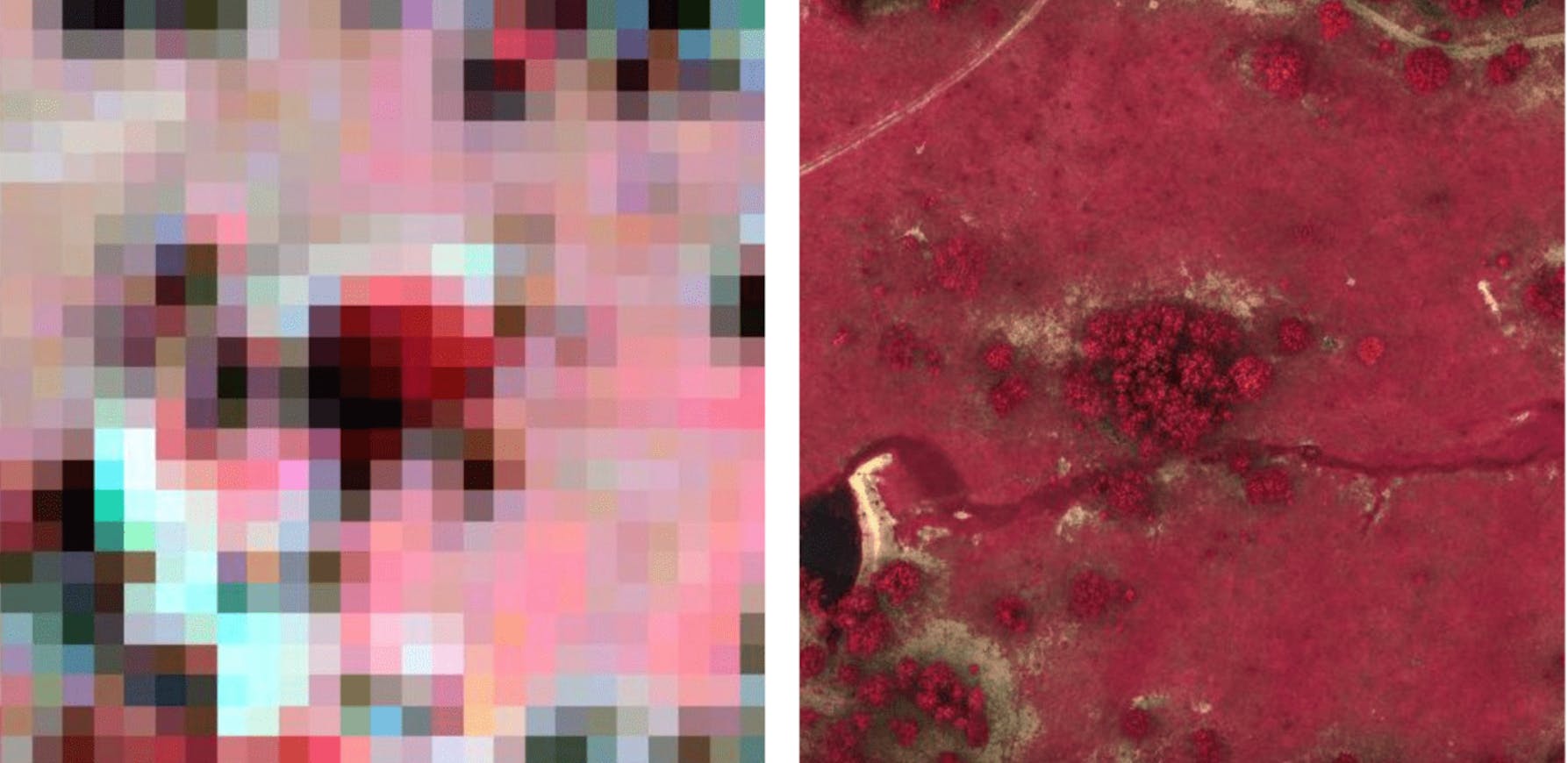
5.6mm
Ground shown with every pixel on our map.
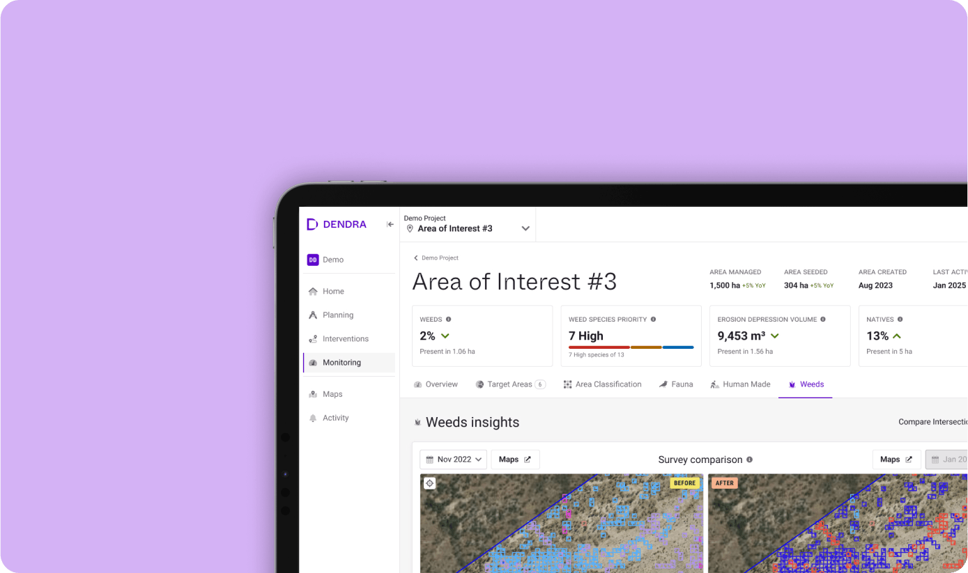
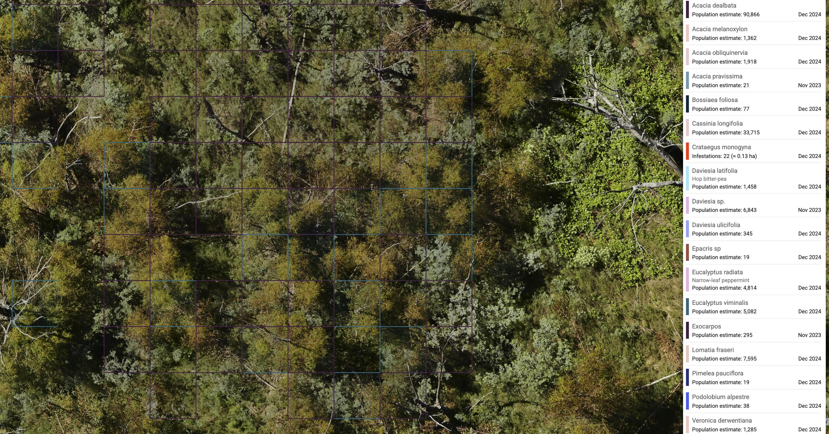
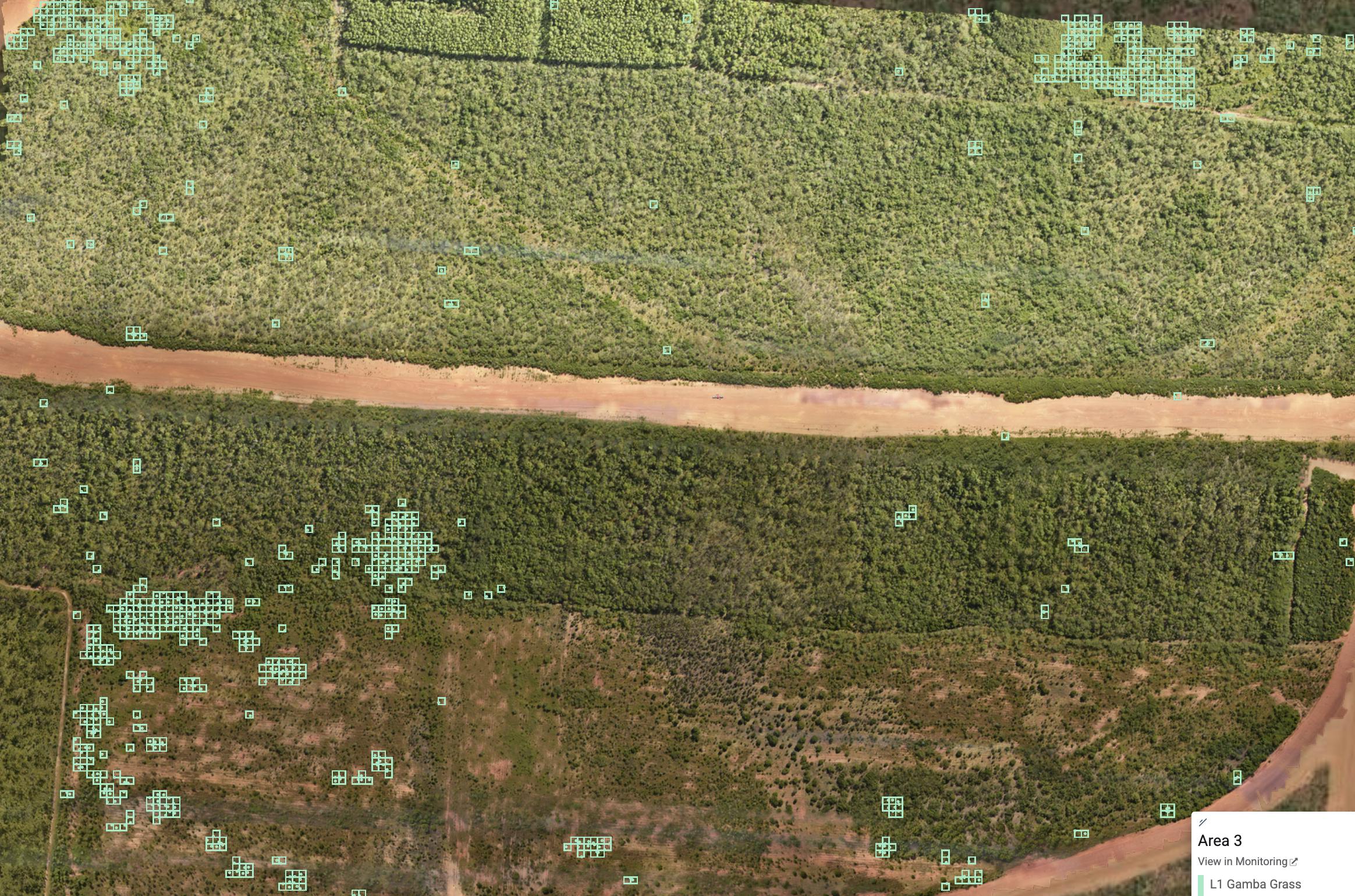
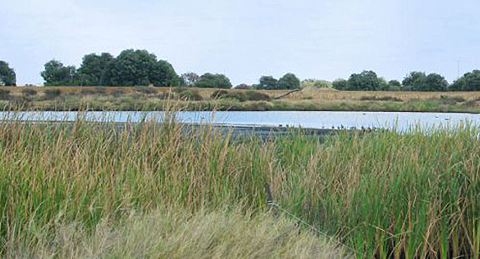
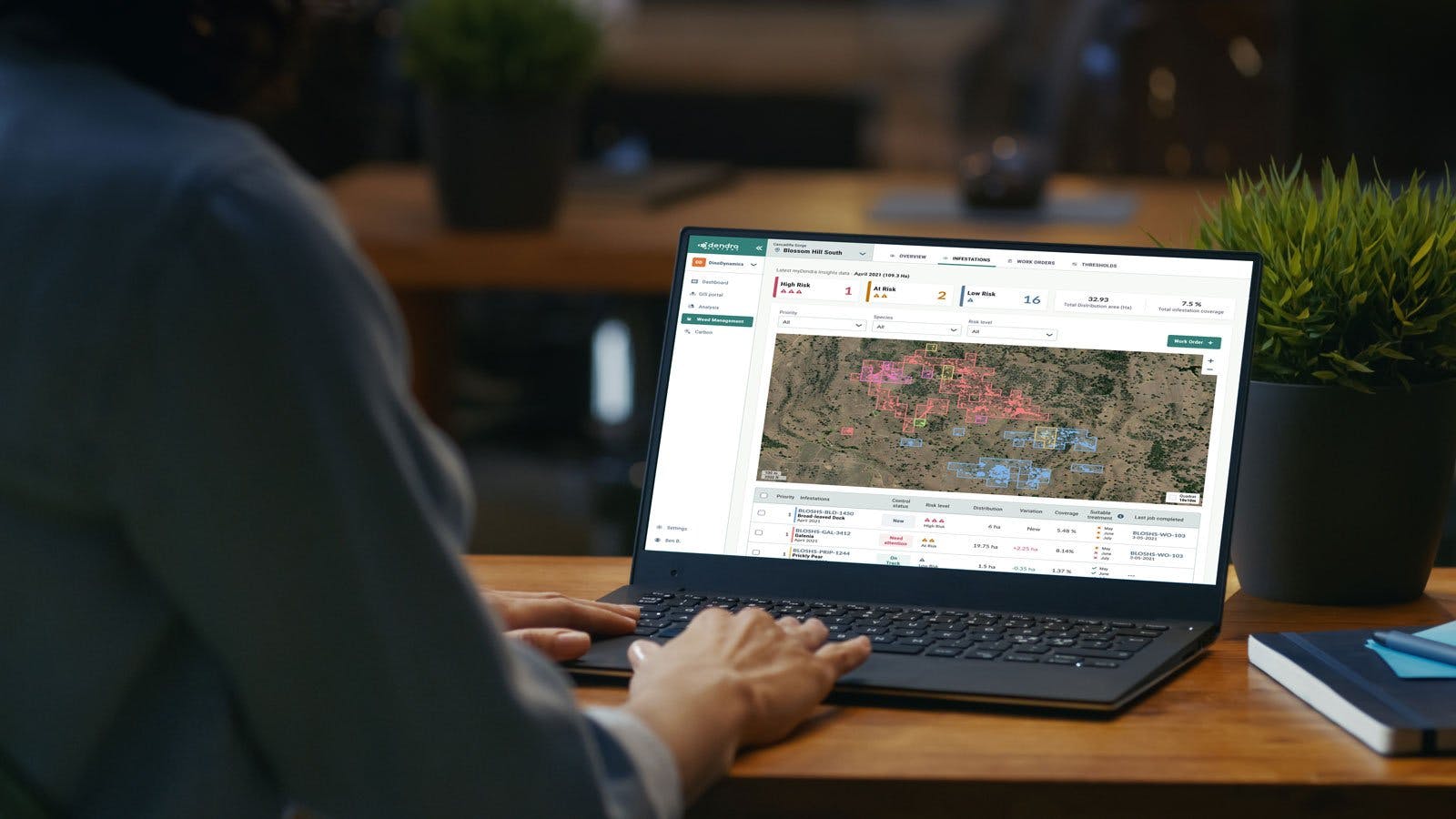
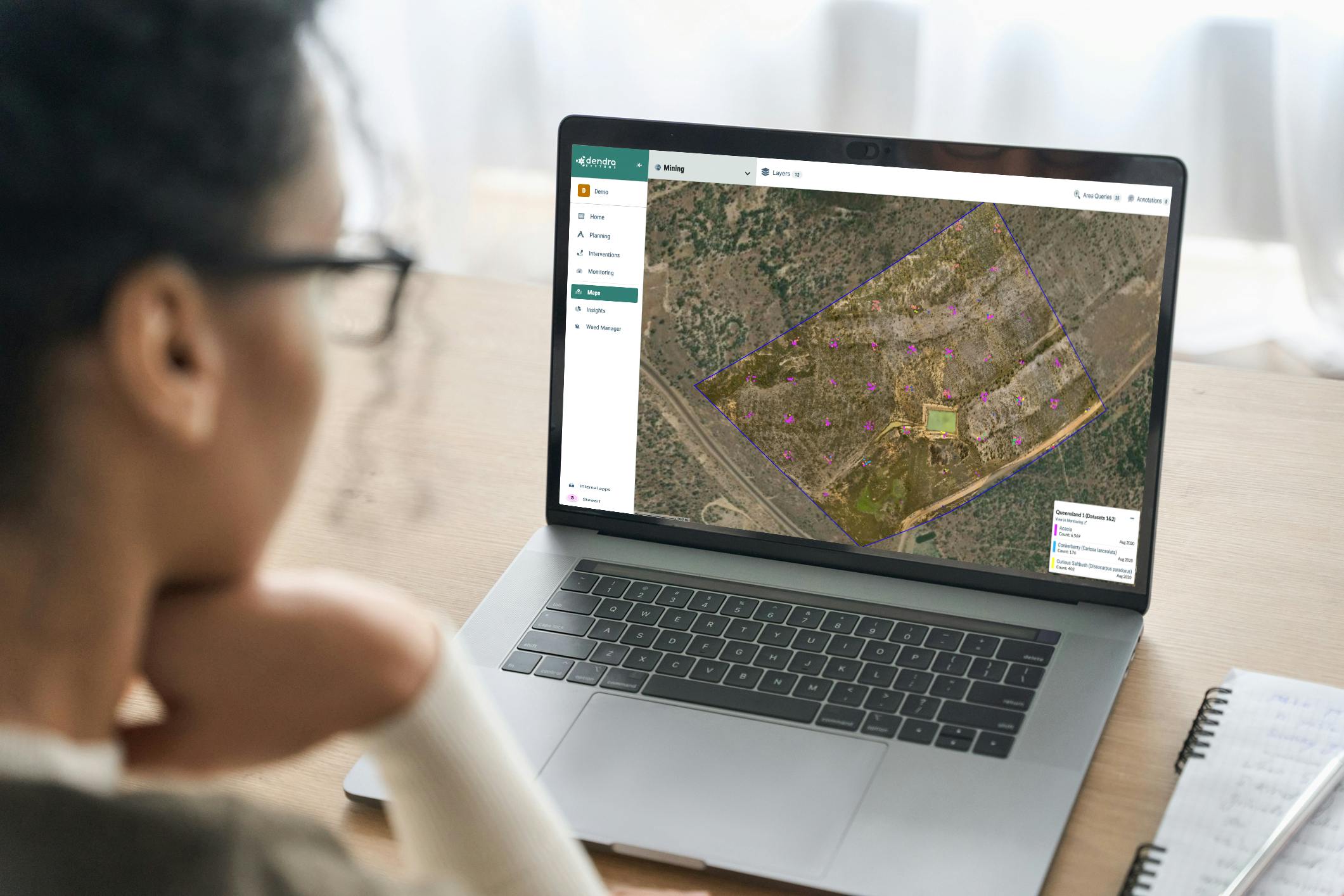
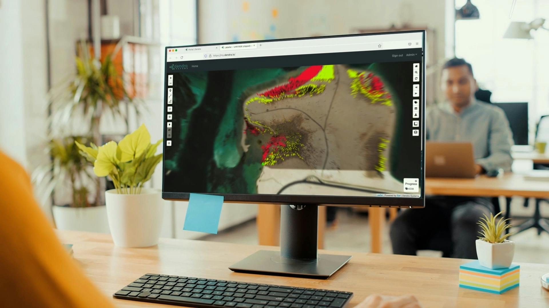
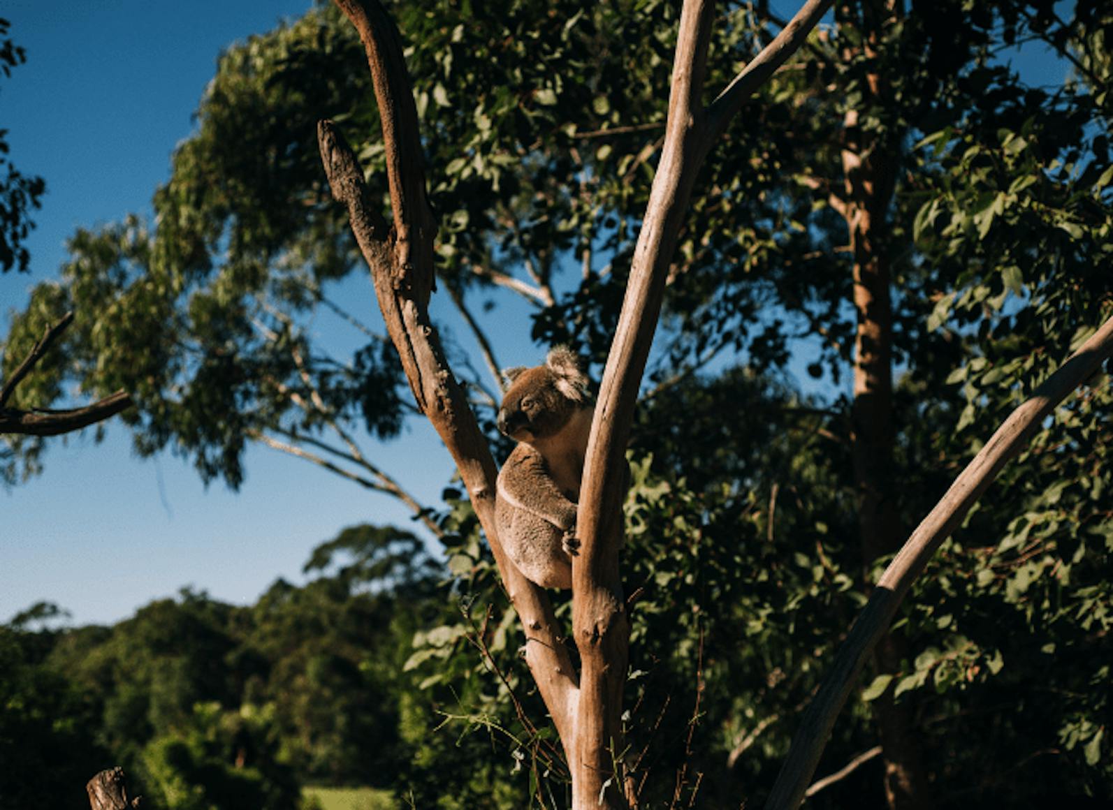
Apply pattern-recognition AI to pinpoint issues with laser-like focus, such as invasive species or erosion threats.
Close the data gap with powerful analysis and insights that enable better-informed interventions, driving improved outcomes and greater environmental impact.
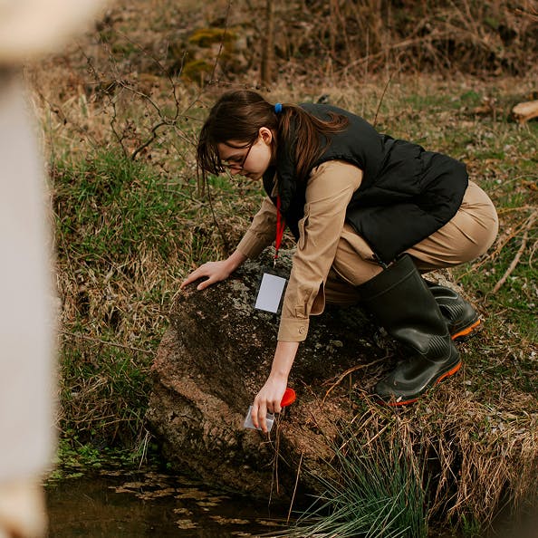
Accurately track progress over time with detailed data, and tell a compelling story of the ecosystem’s management with transparent environmental reporting.
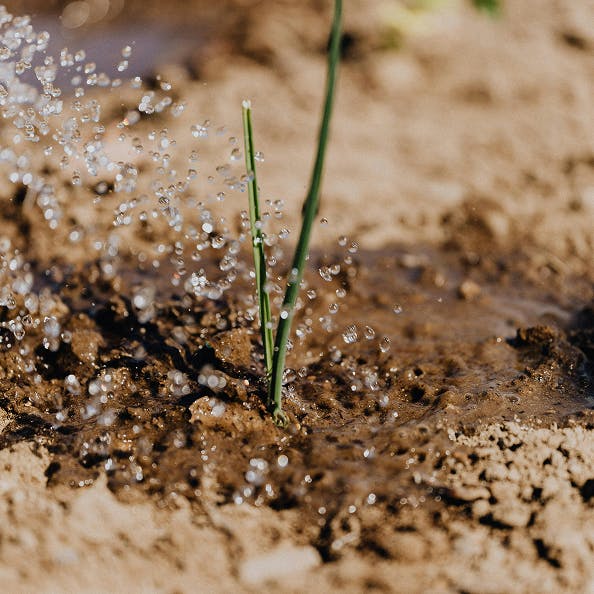
Save time and reduce costs by remotely pre-planning flora and fauna surveys with pinpoint accuracy.
Bring clarity to the complexity of ecosystem management with Dendra’s Optical Intelligence.
Dendra for


Want to know more? Contact us to see how we can support the management and restoration of large-scale ecosystems.