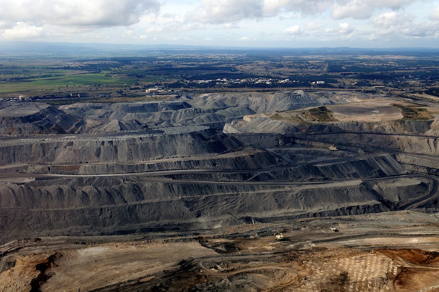
Return large-scale sites to nature, fast
Drive precise cost-effective interventions and track KPI performance with our end-to-end platform.
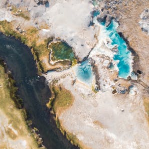
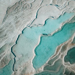
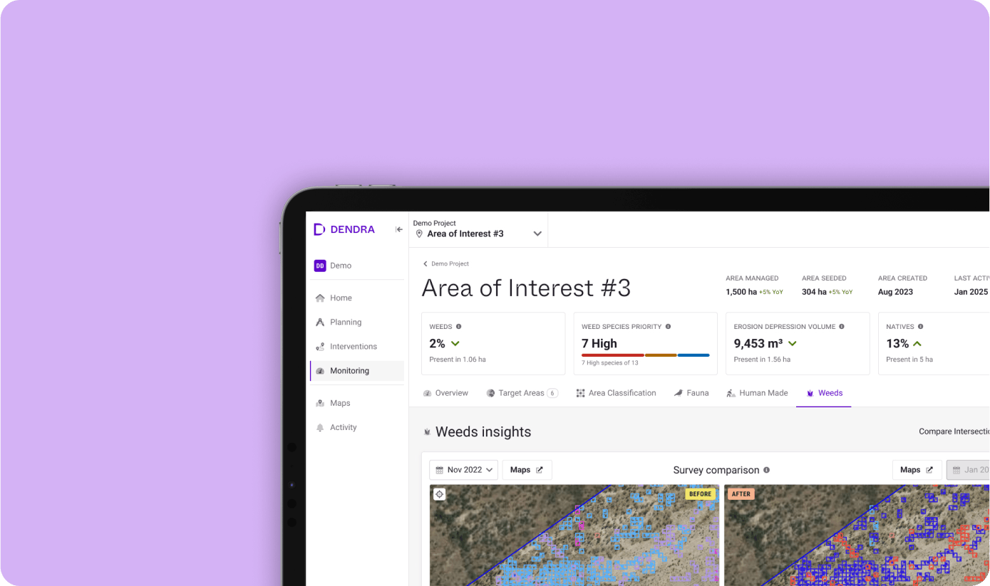
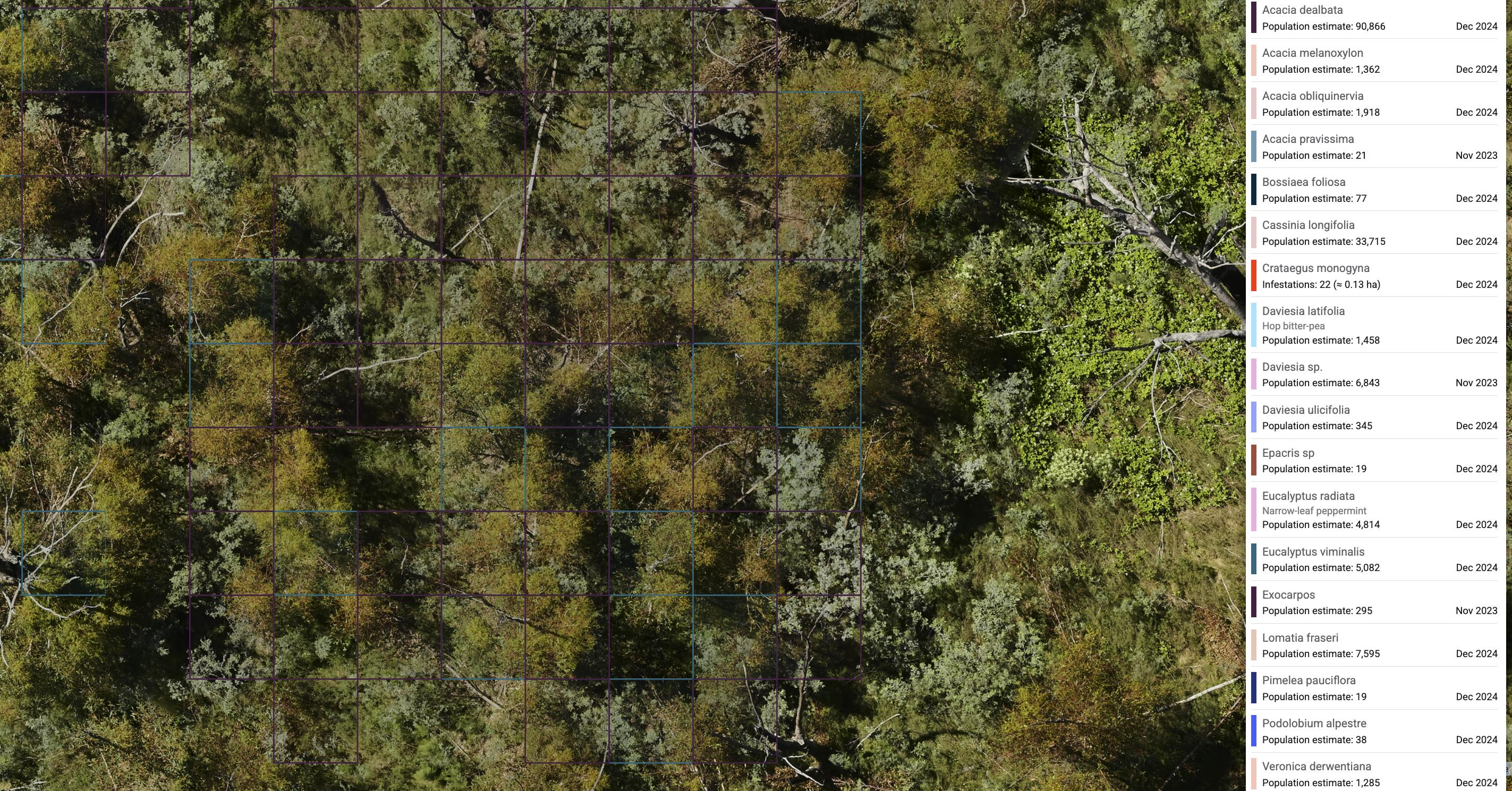
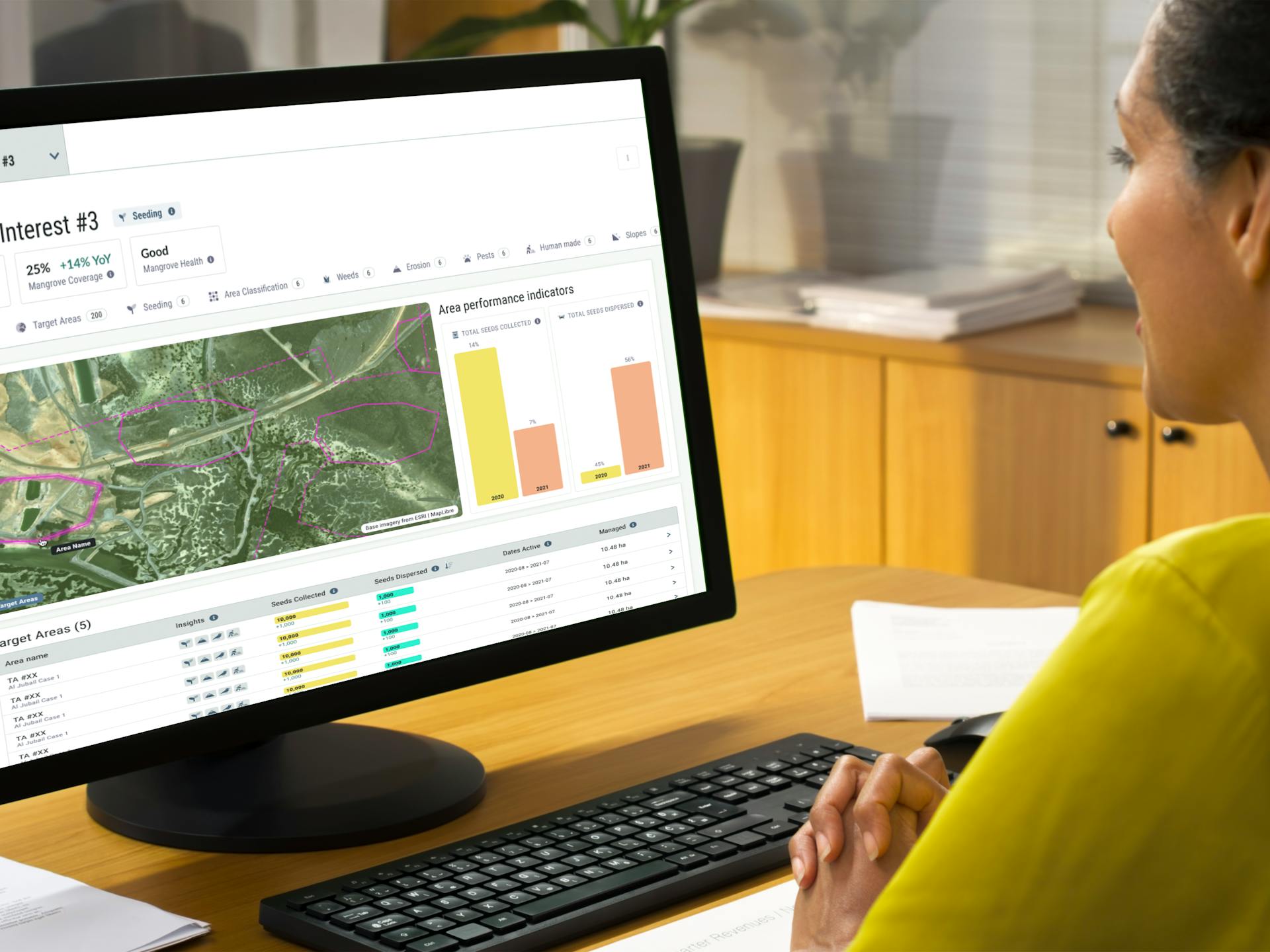
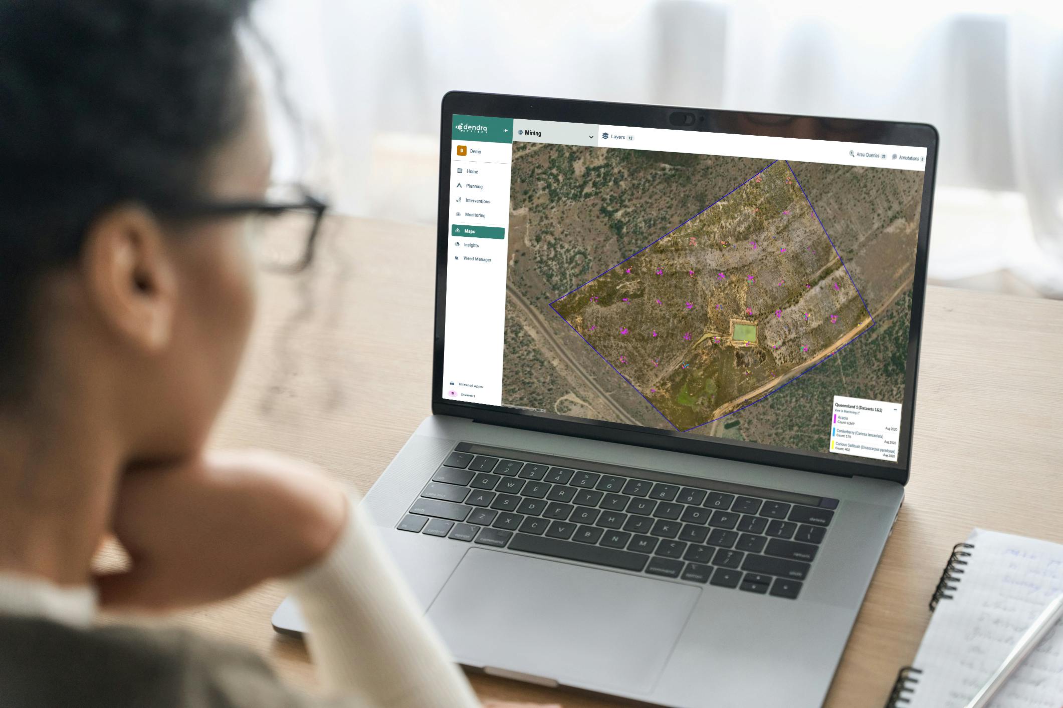
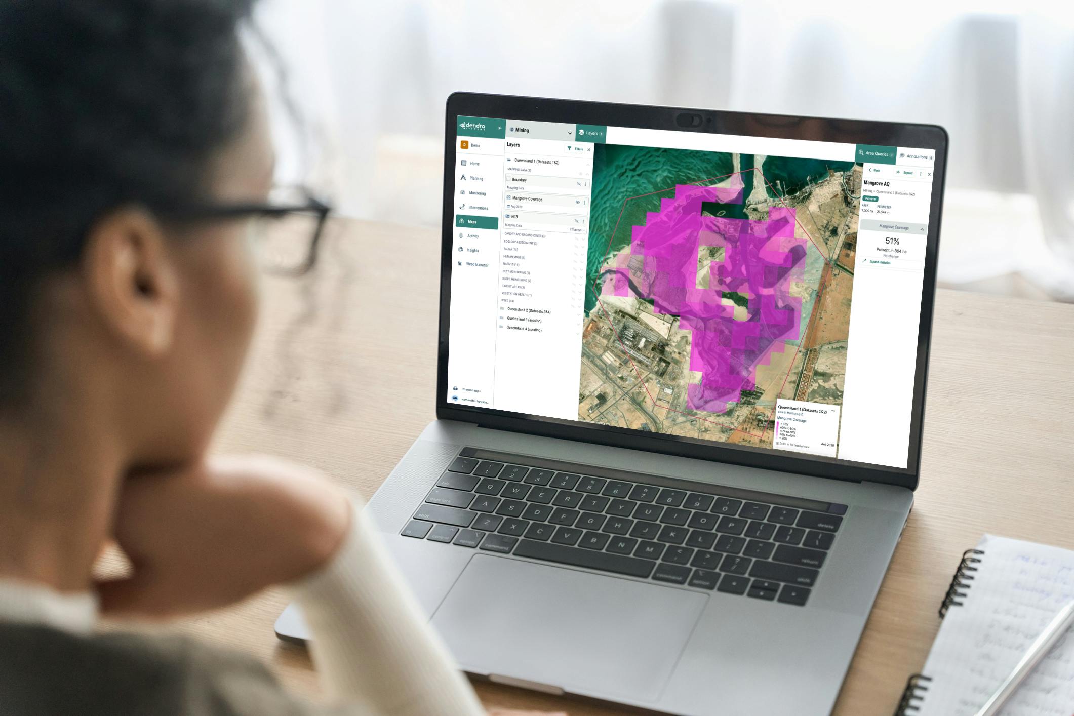
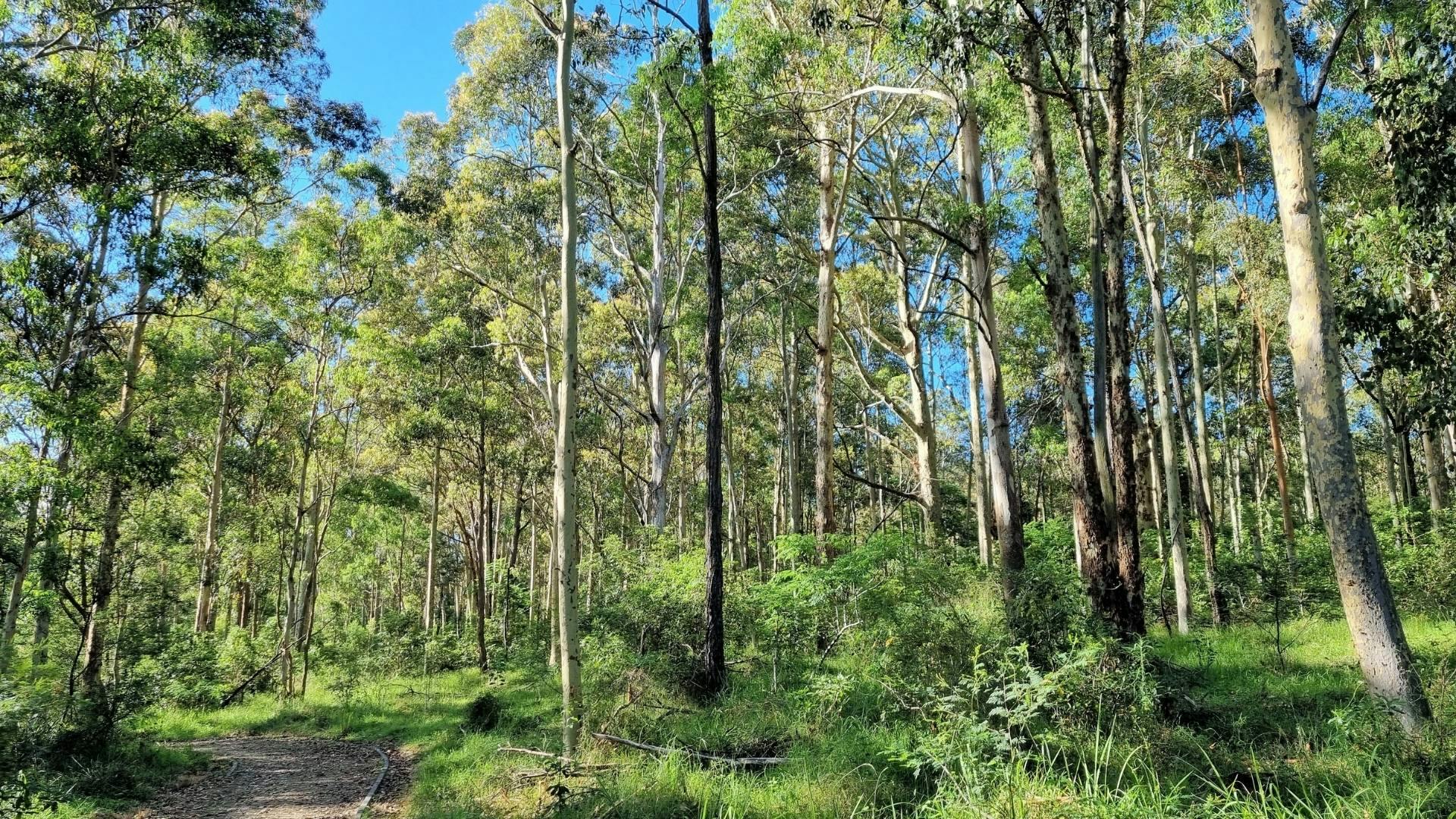
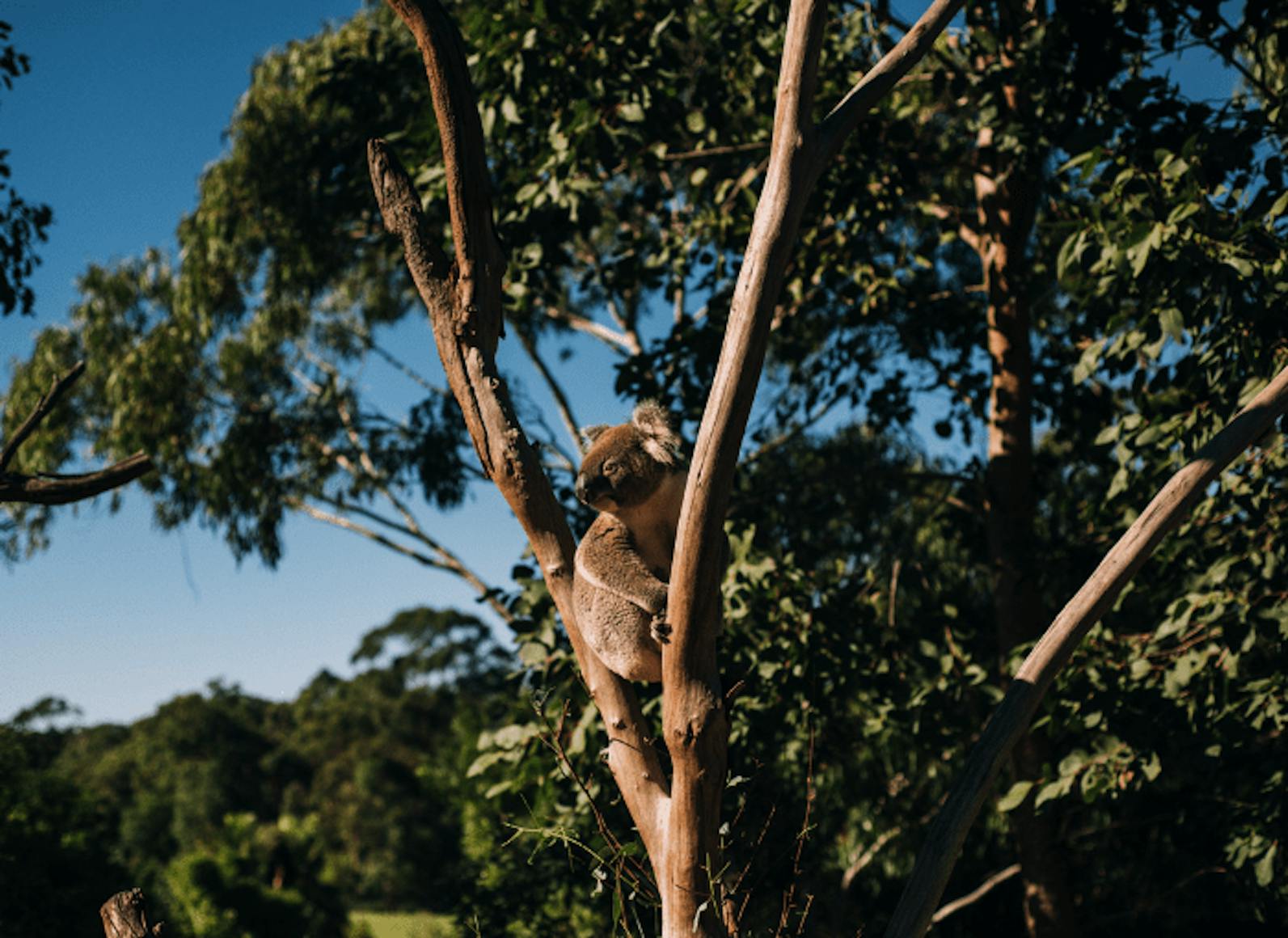
Combine ultra-high-resolution maps with ecology-powered AI to transform large-scale spatial data into actionable insights. Analyse area coverage, species distribution, vegetation height and more.
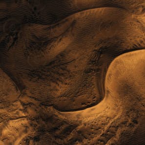
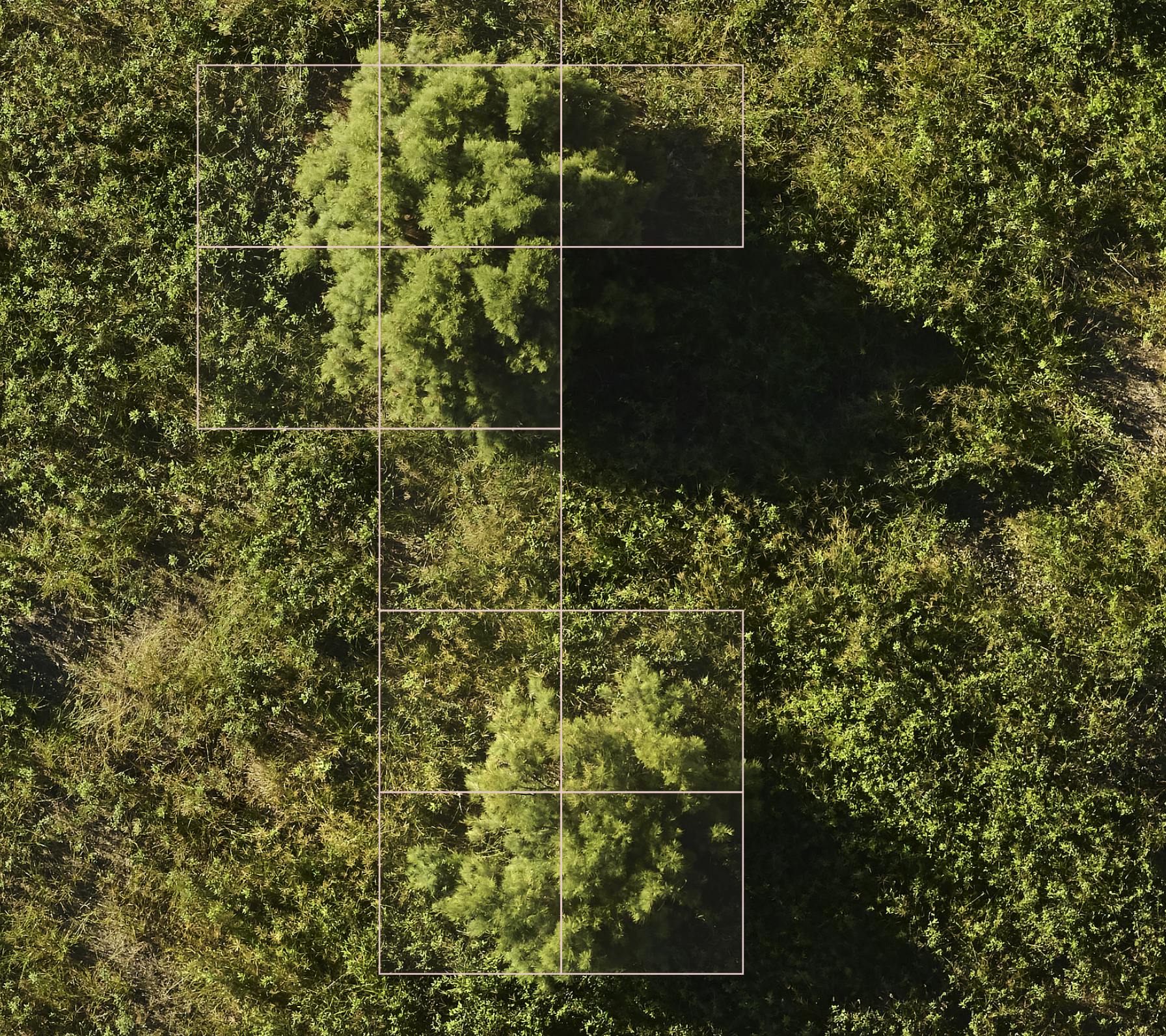
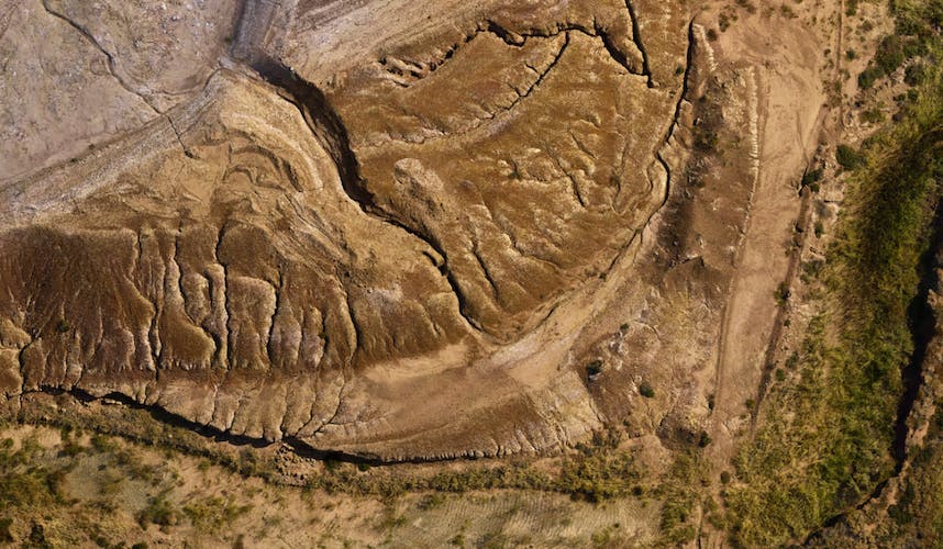
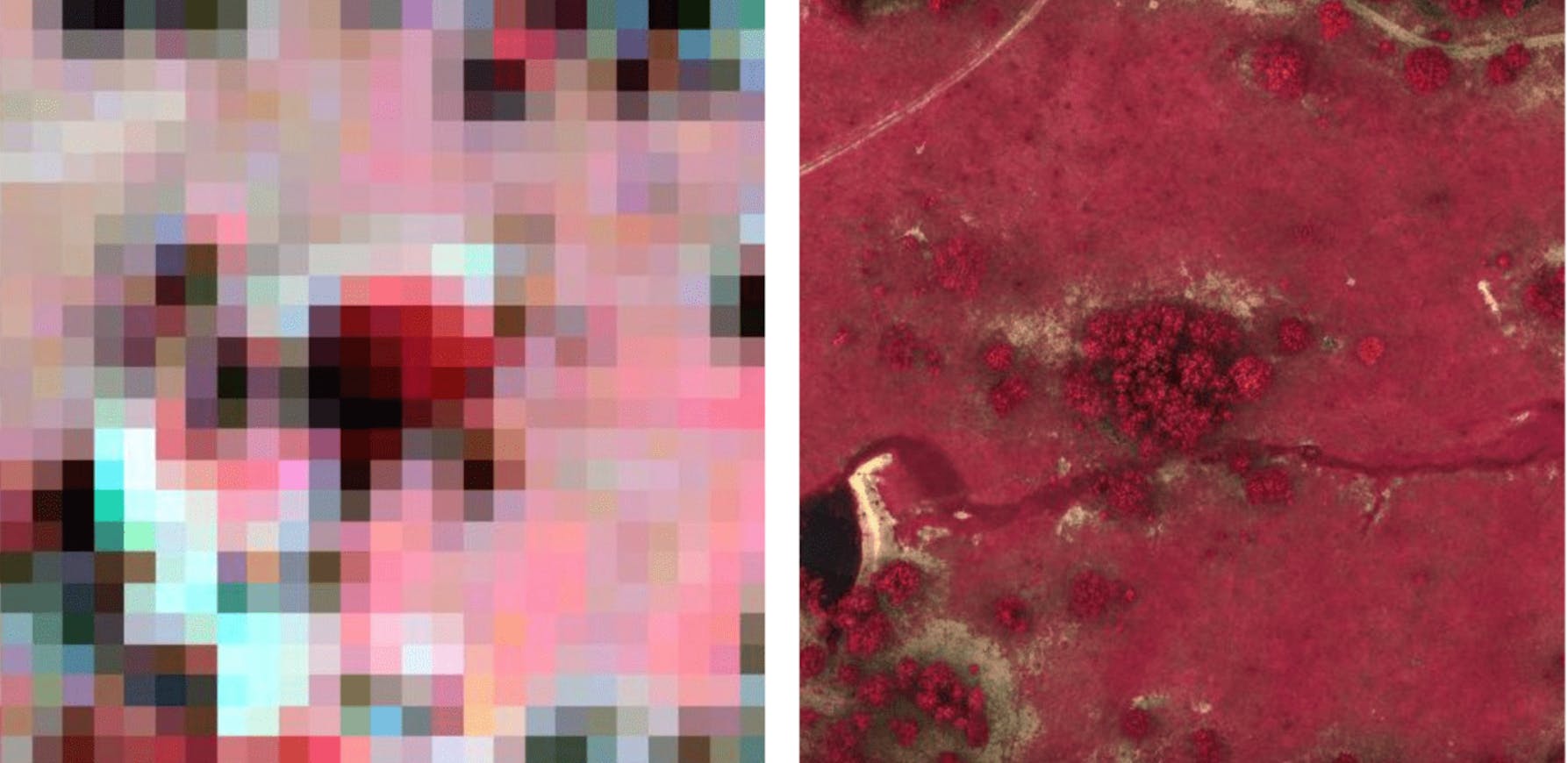
5.6mm
Ground shown with every pixel on our map.
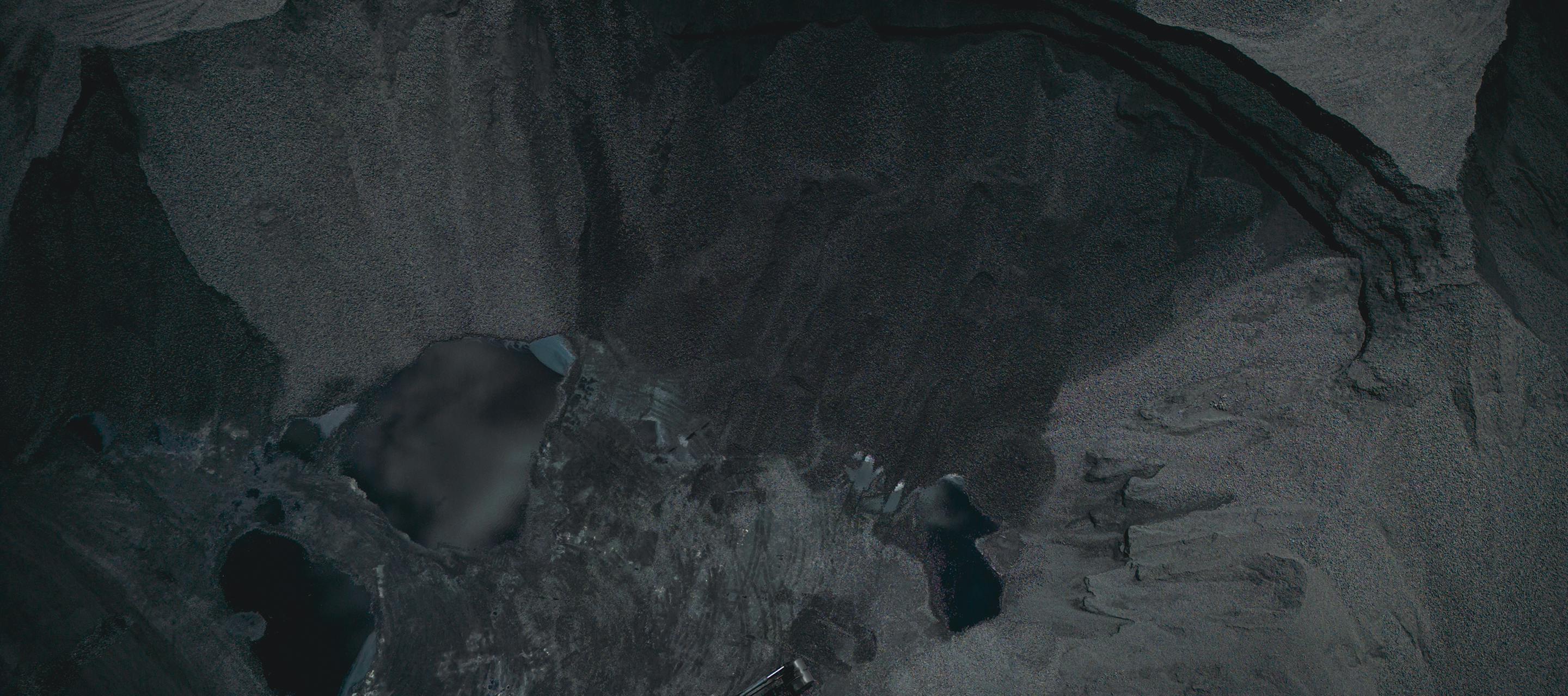
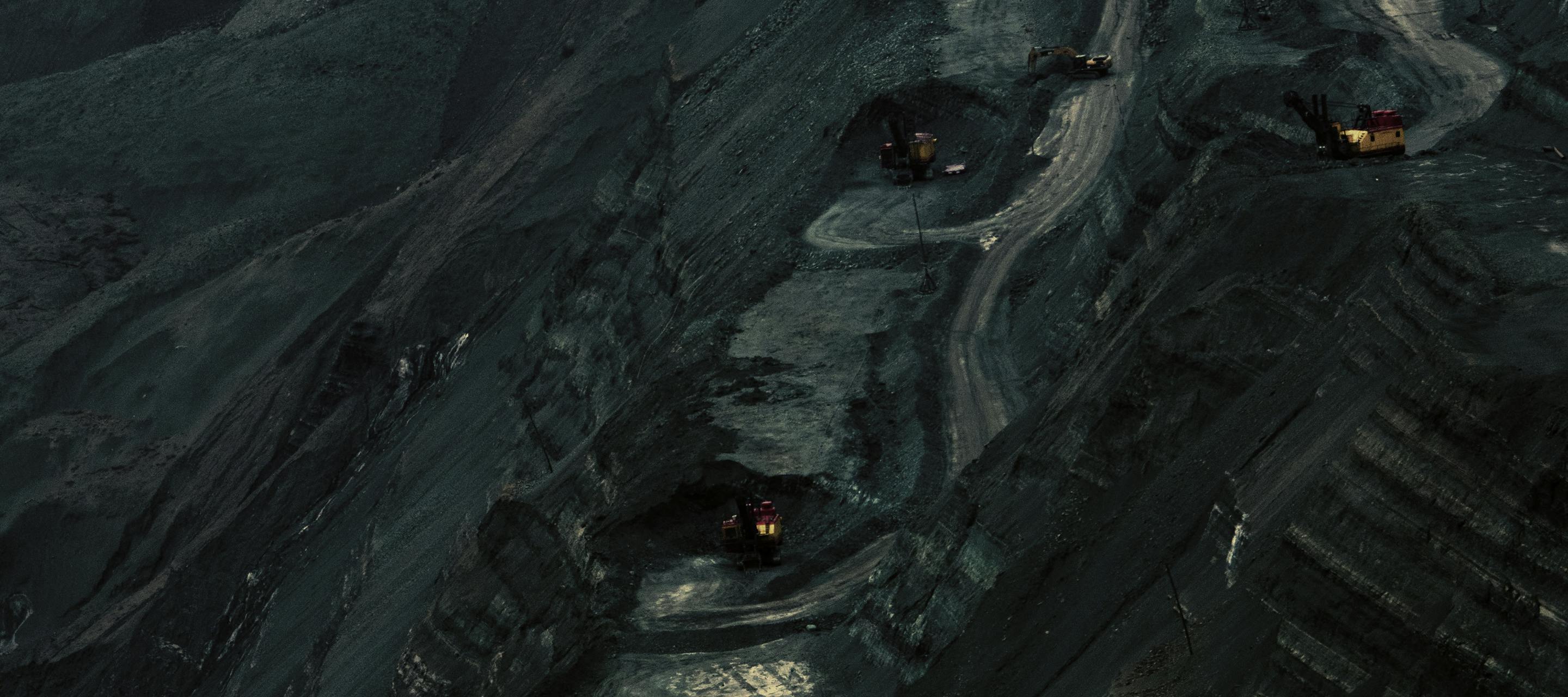
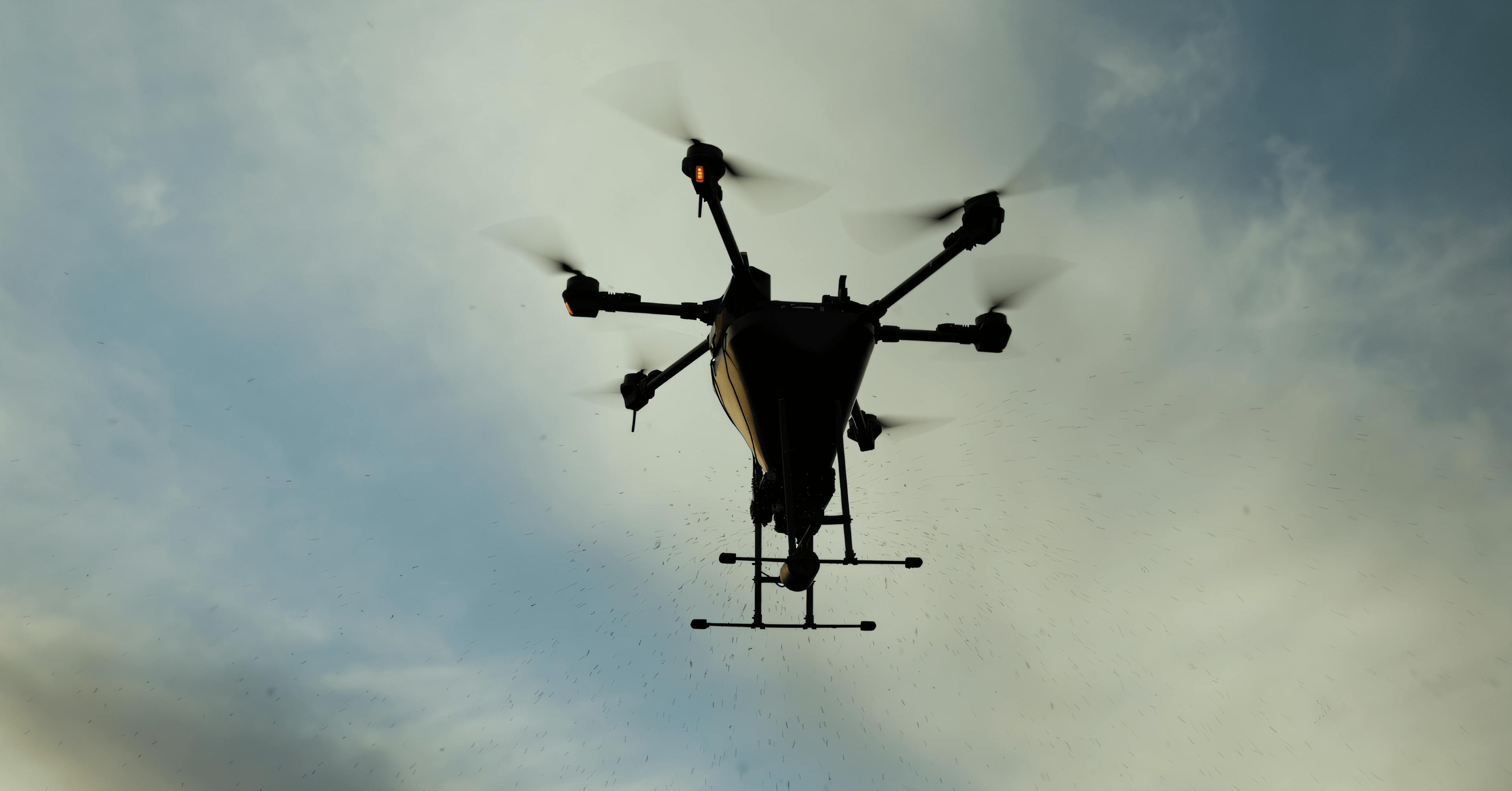
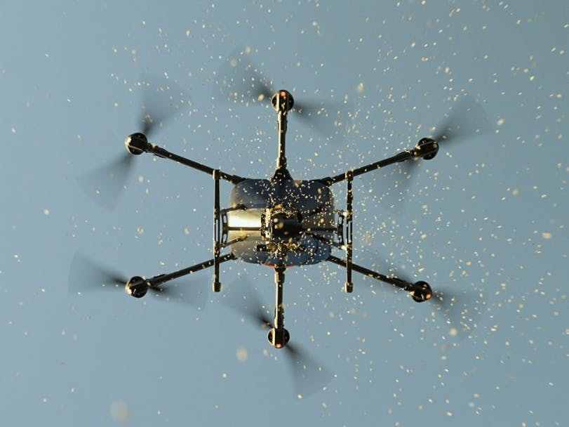
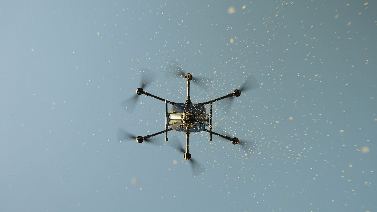
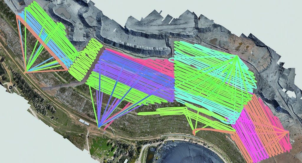
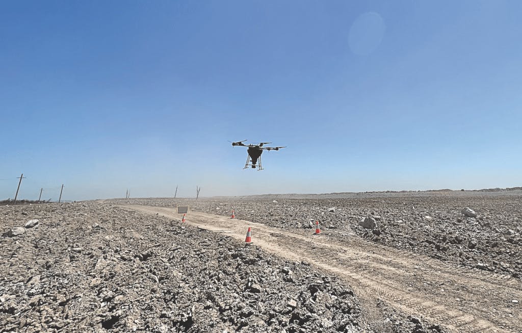
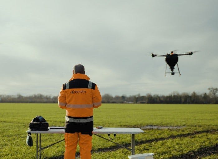
Use drone-captured imagery to survey 100% of a site without boots on the ground, enhancing safety and efficiency. Remotely analyse environmental features and track intervention effectiveness with our web-based platform.
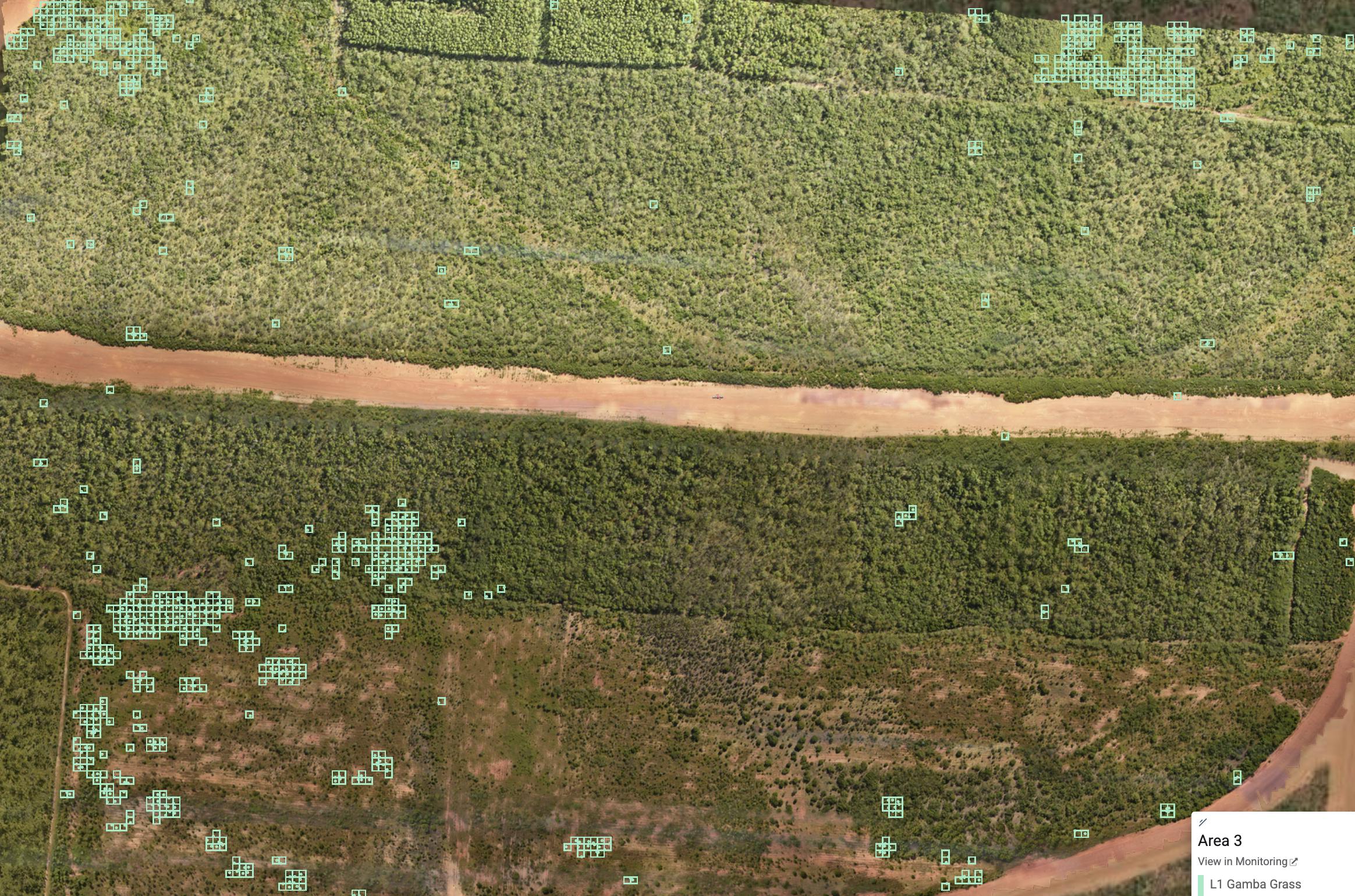
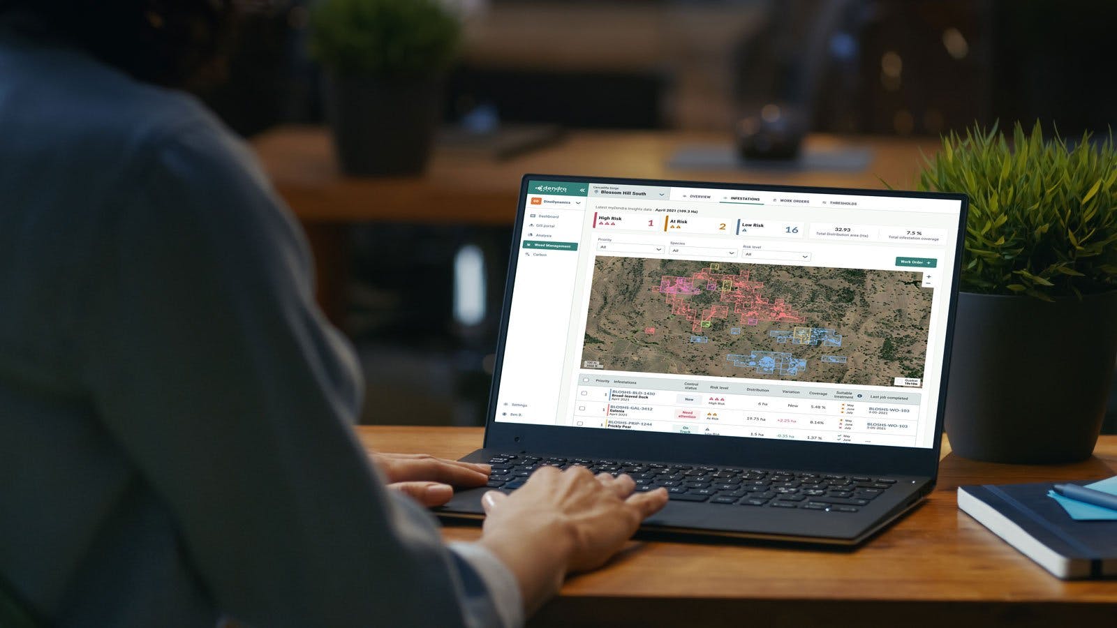
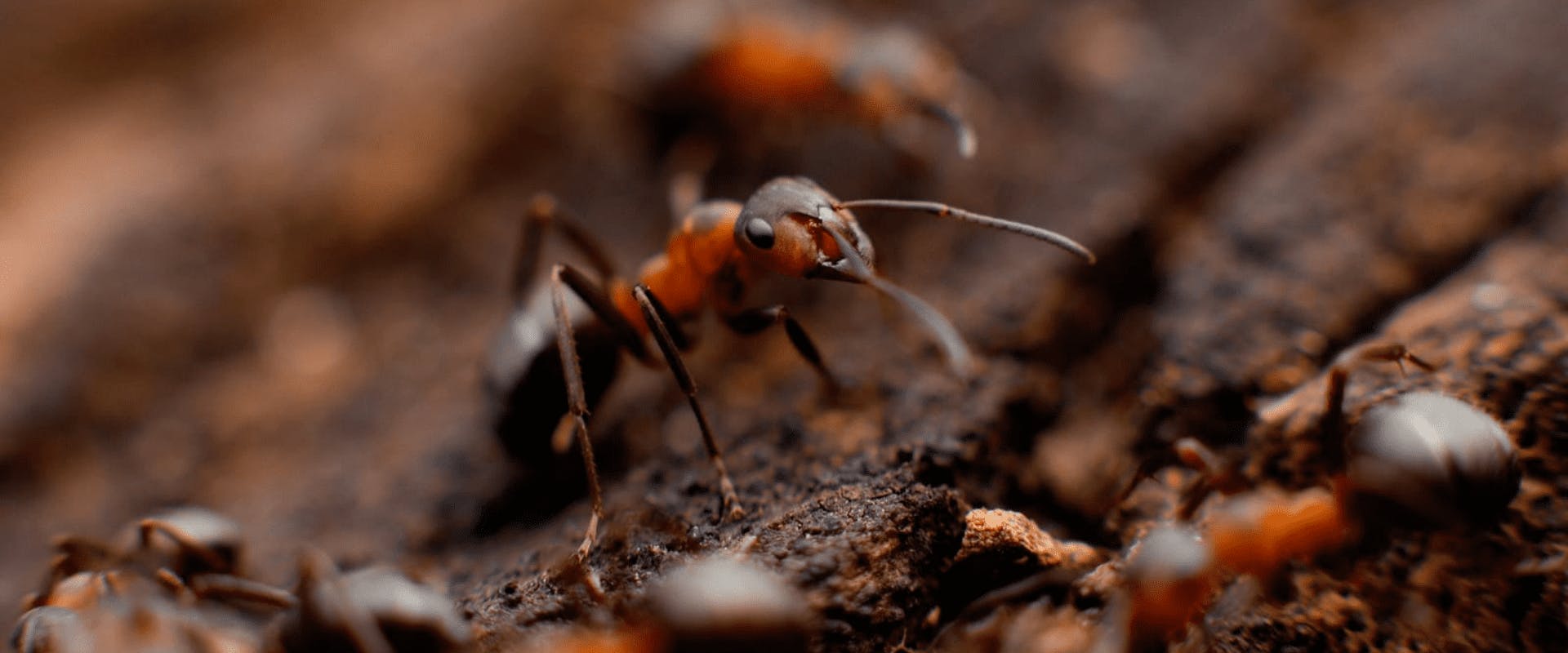
Hone in on invasive species with powerful pattern-recognition AI. Prioritise weed control interventions and monitor the effectiveness of existing weed management programmes.
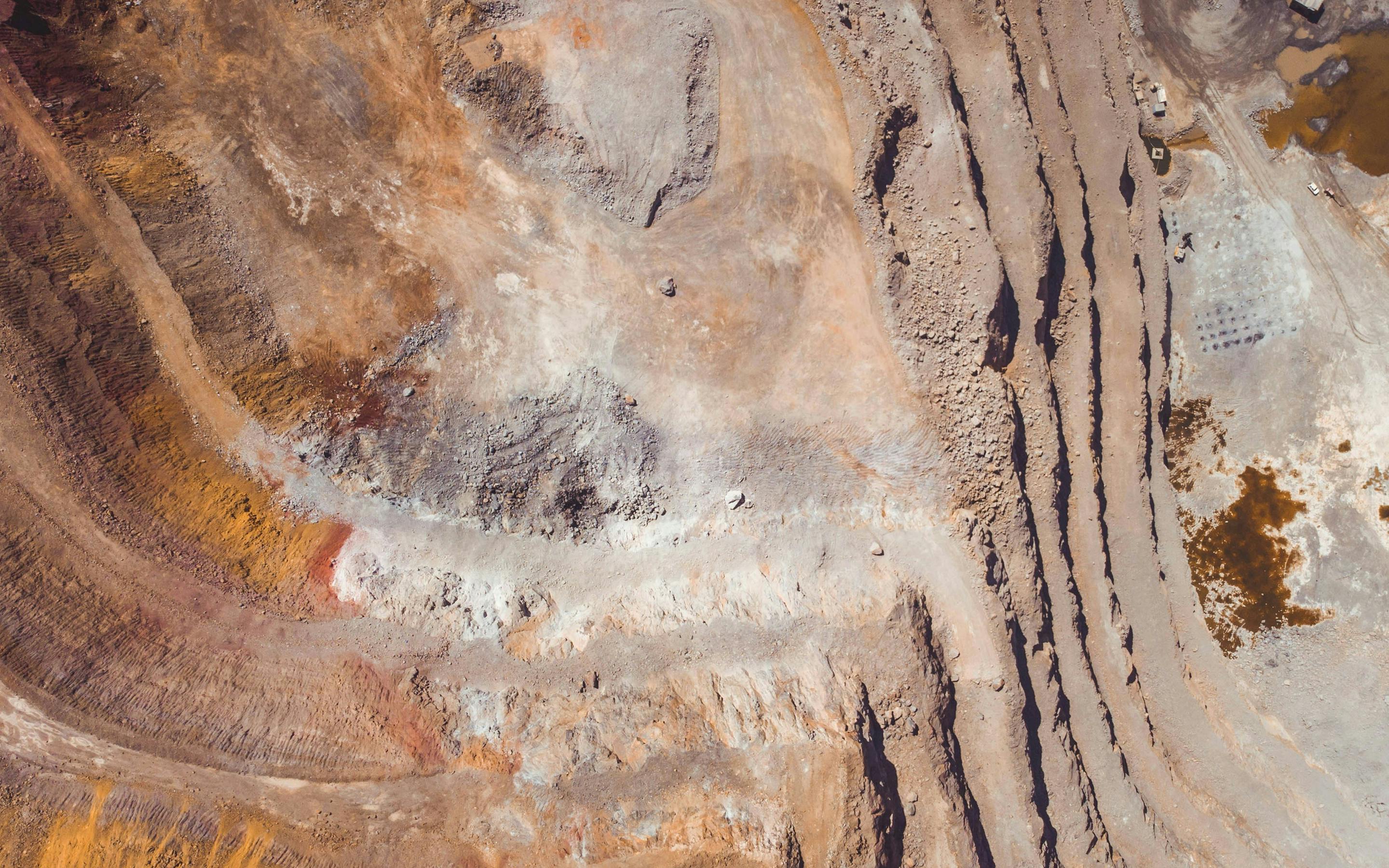
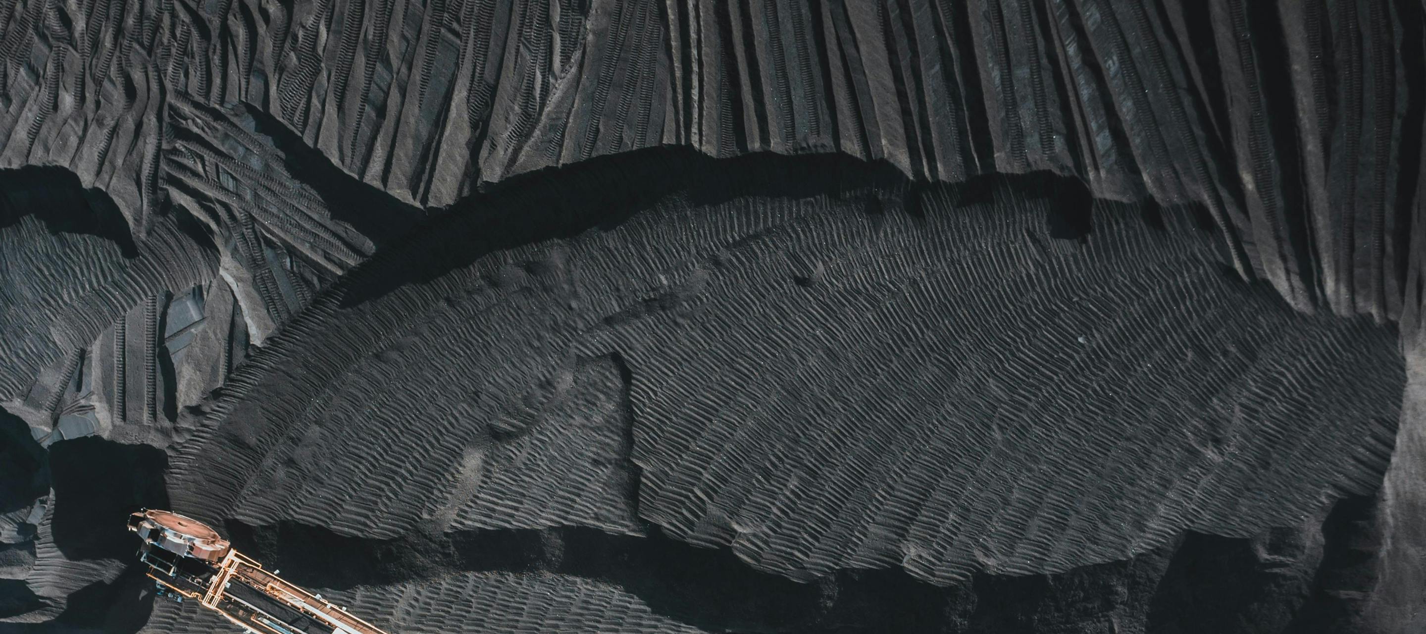
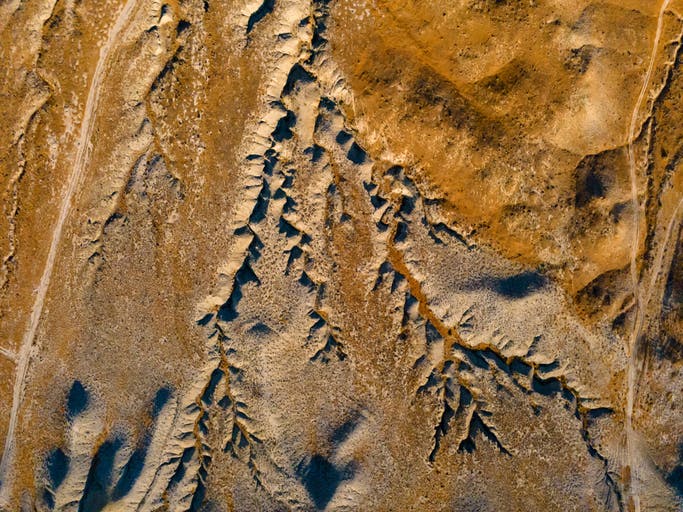
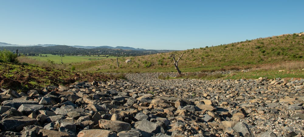
Gain insights into the extent and severity of erosion using LiDAR data. Visualise erosion depths and surface area, report on progress and track changes over time to prioritise interventions.
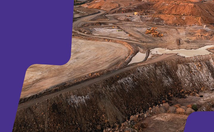
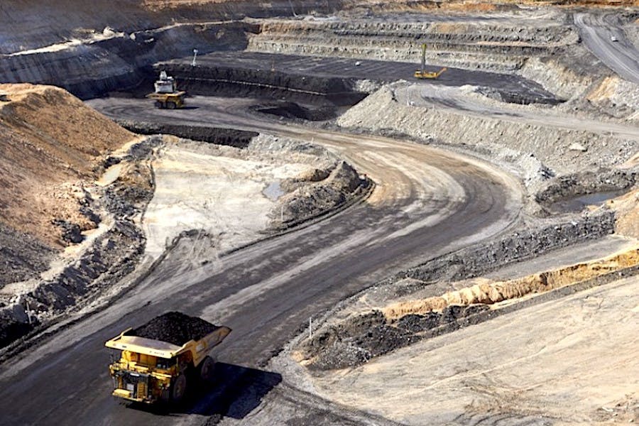
Meet closure targets for the rehabilitation of mining sites. Present a compelling narrative to regulators, showcasing the rehabilitation’s progress and plans with detailed data and insights.
Unify your rehabilitation plans on one platform, facilitating collaboration between all stakeholders and guaranteeing transparency.
Bring clarity to the complexity of ecosystem management with Dendra’s Optical Intelligence.
Dendra for


Want to know more? Contact us to see how we can support the management and restoration of large-scale ecosystems.