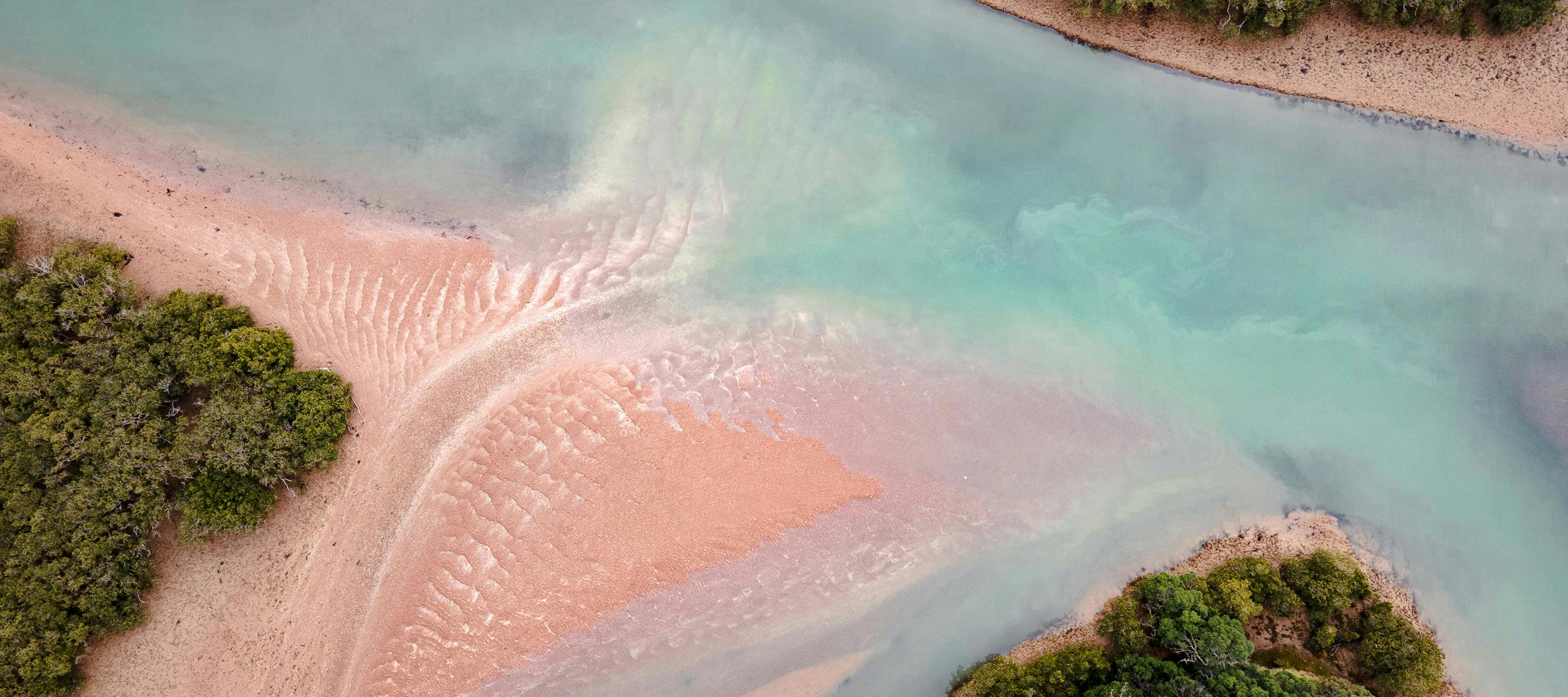
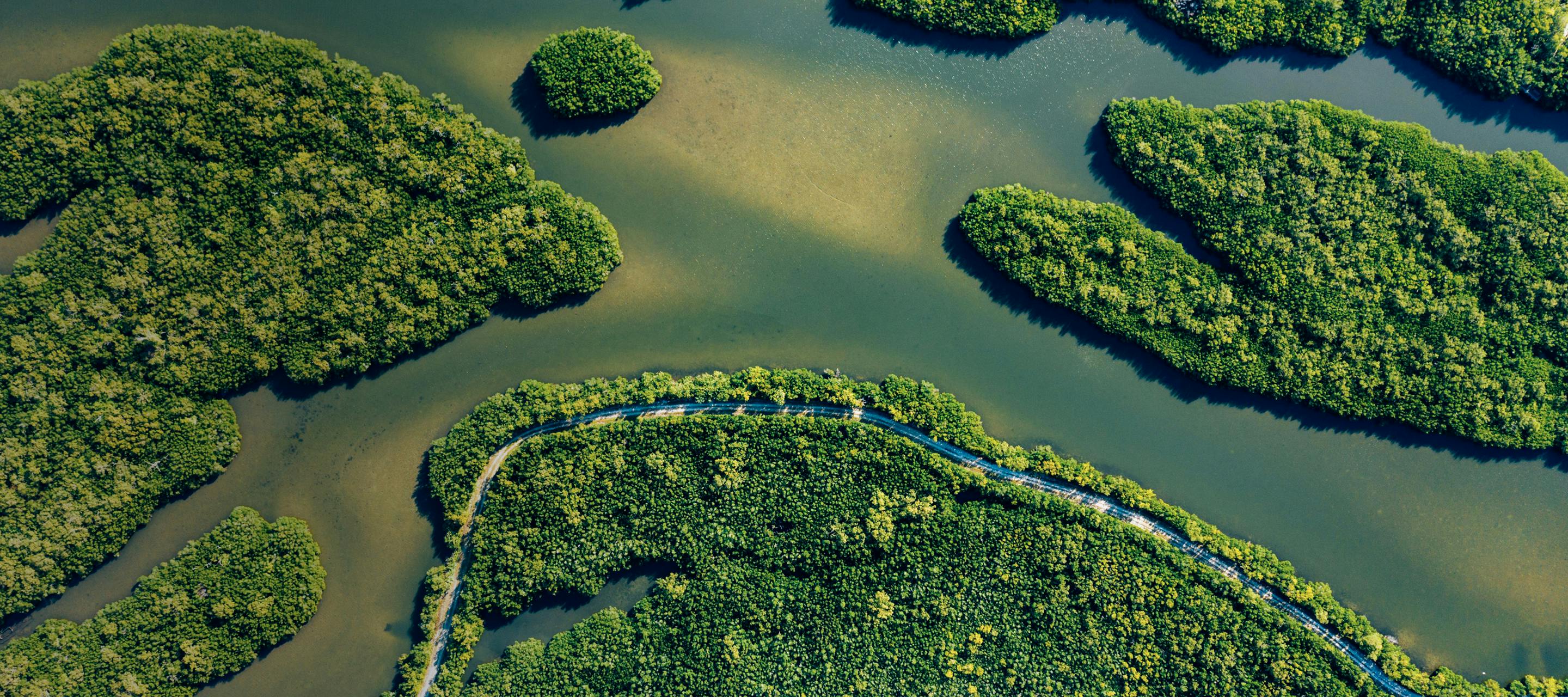
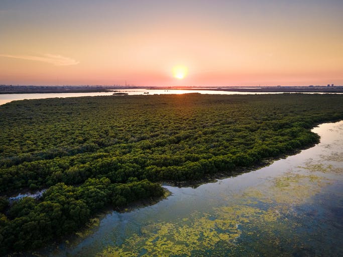
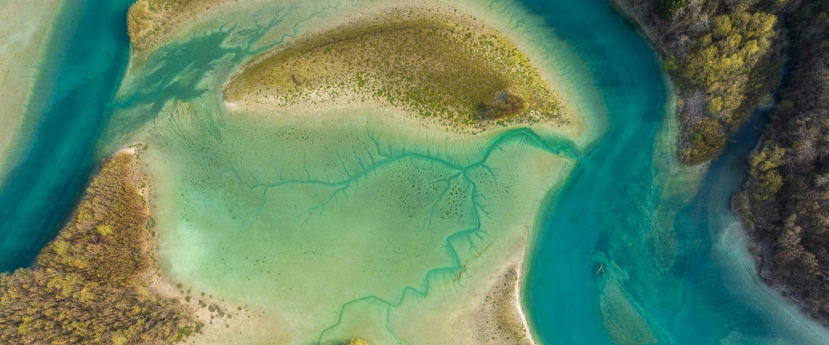
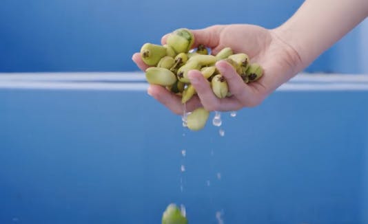
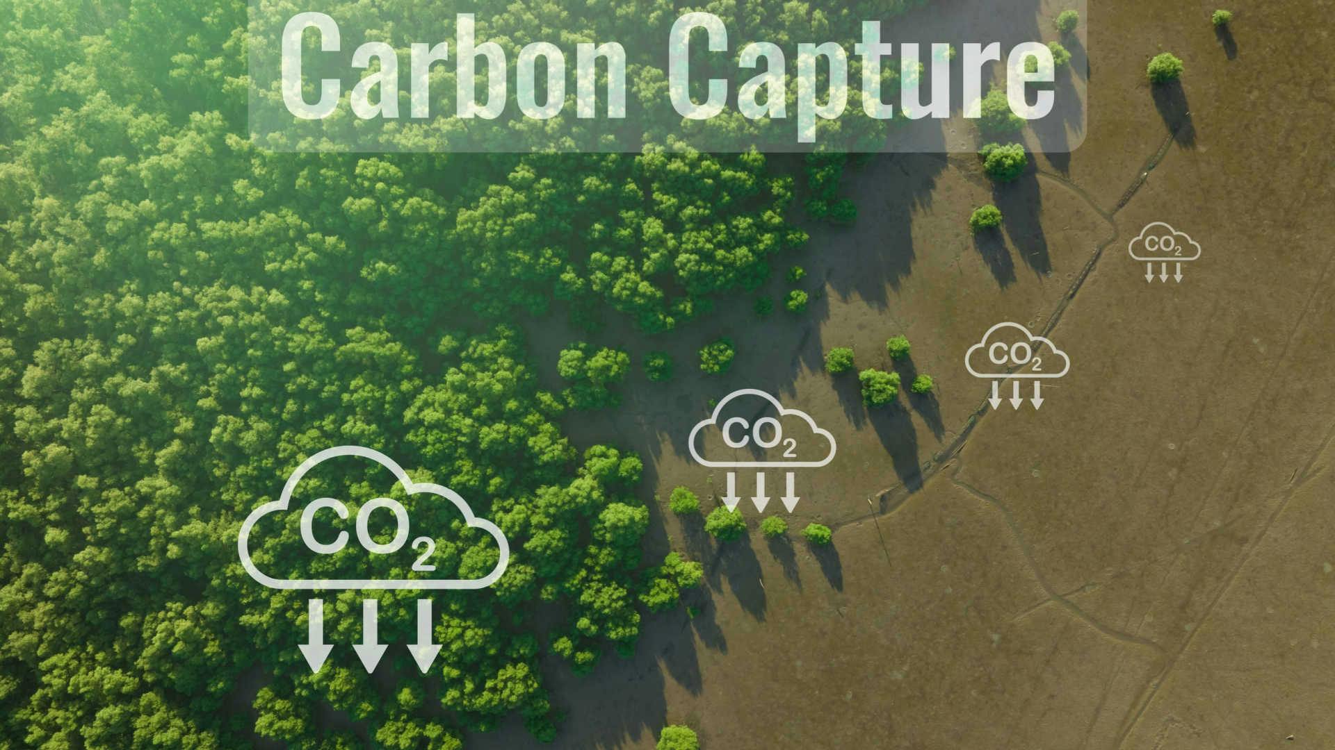
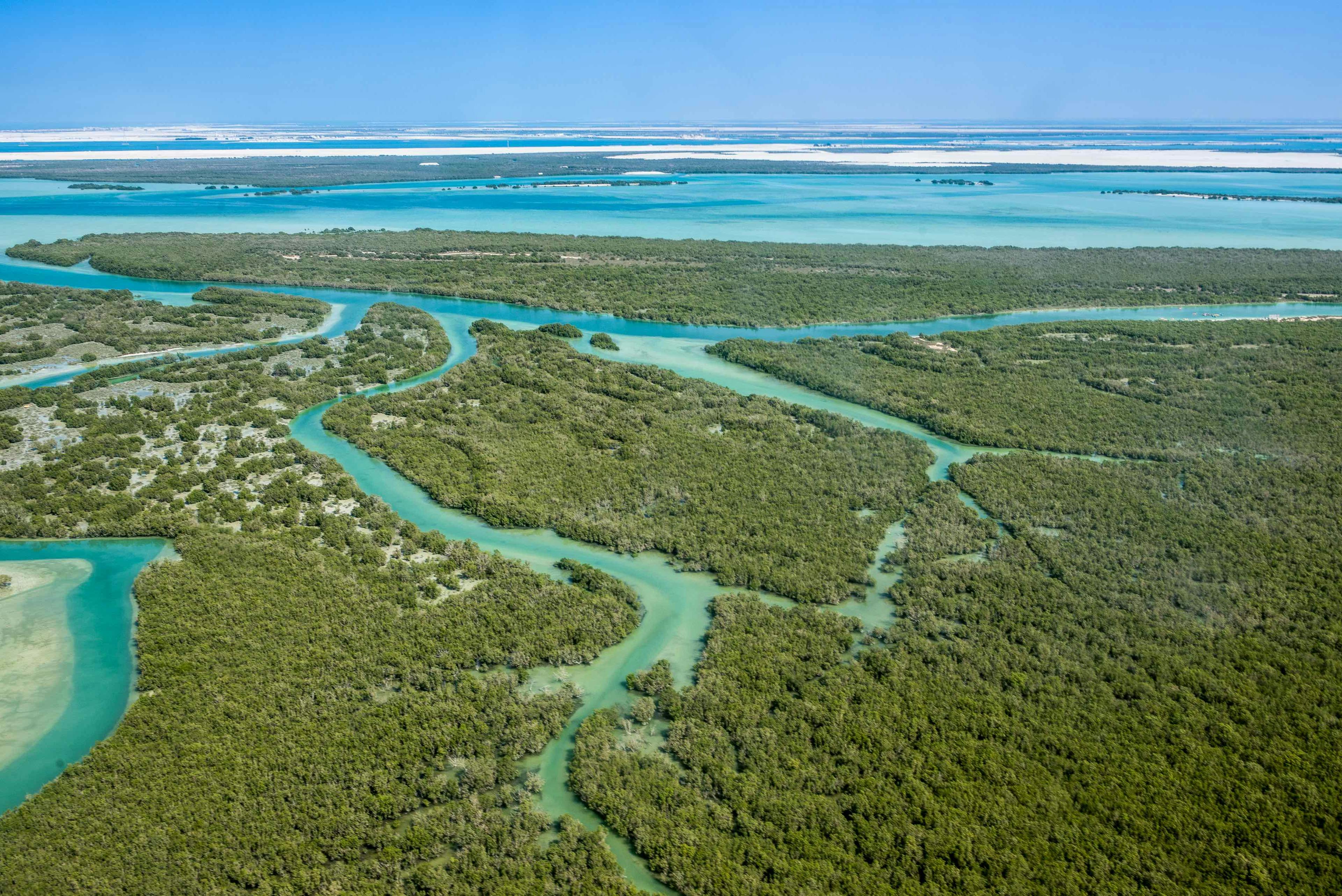
Restoring natural balance to degraded mangroves
Manage and mitigate the challenges to coastal environments with AI-powered insights.
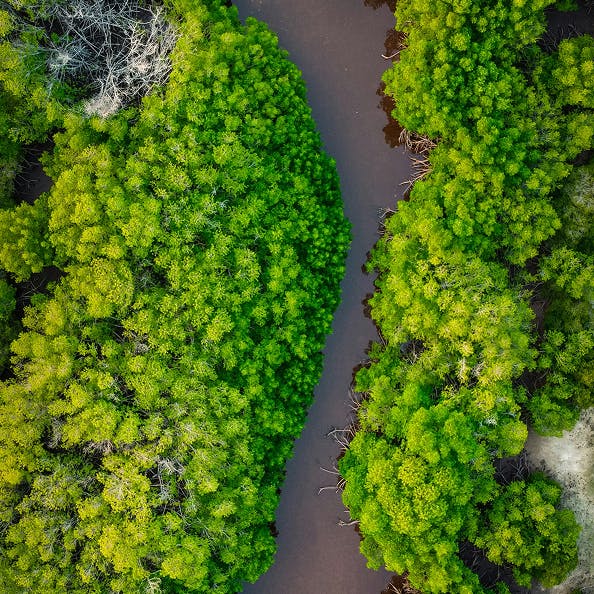
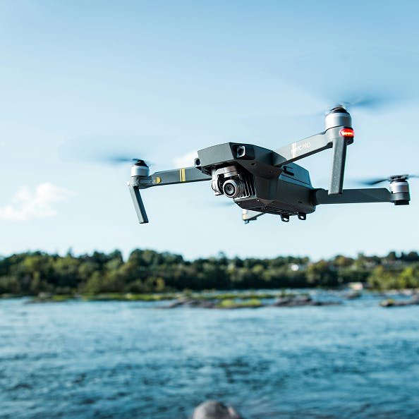

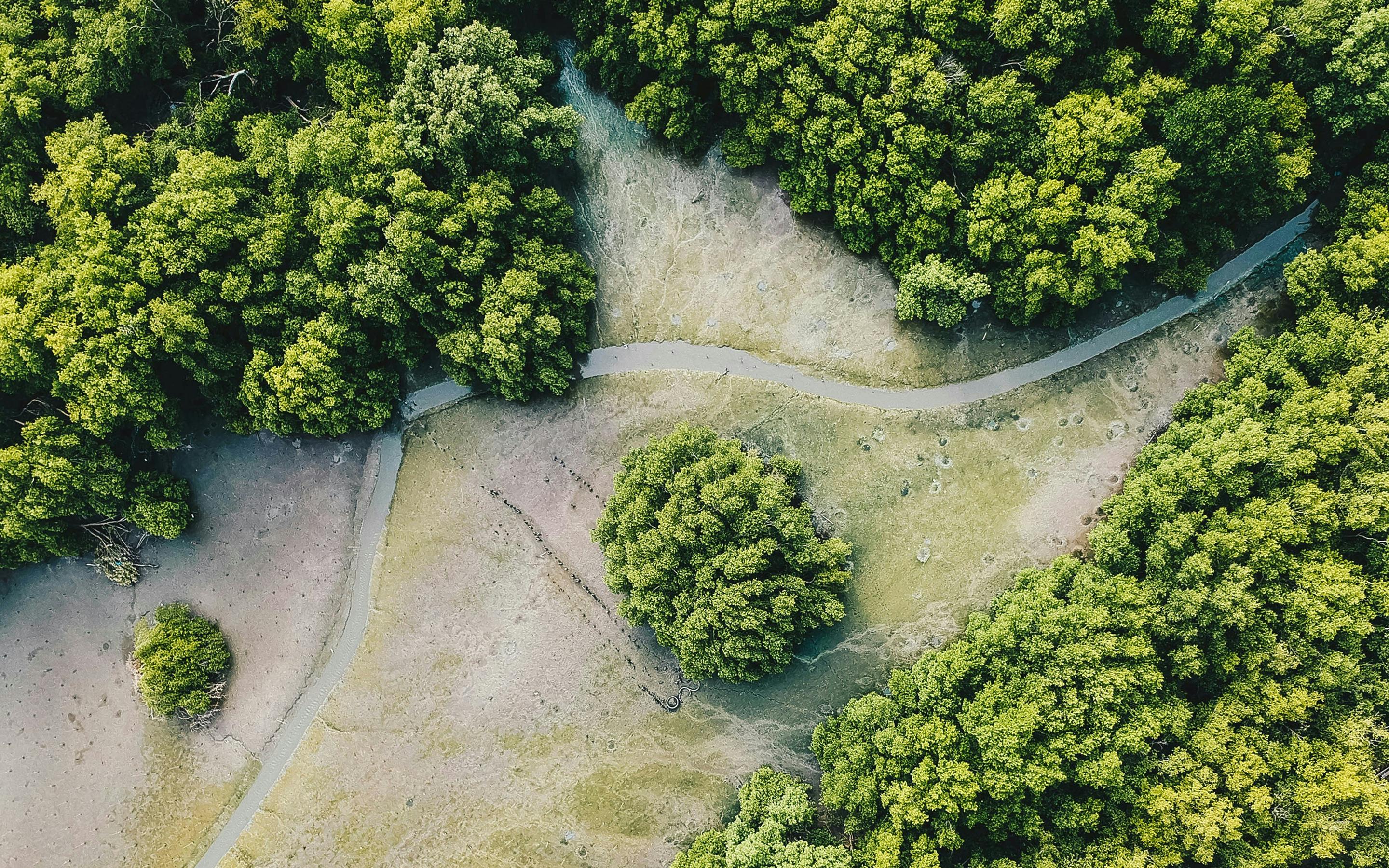
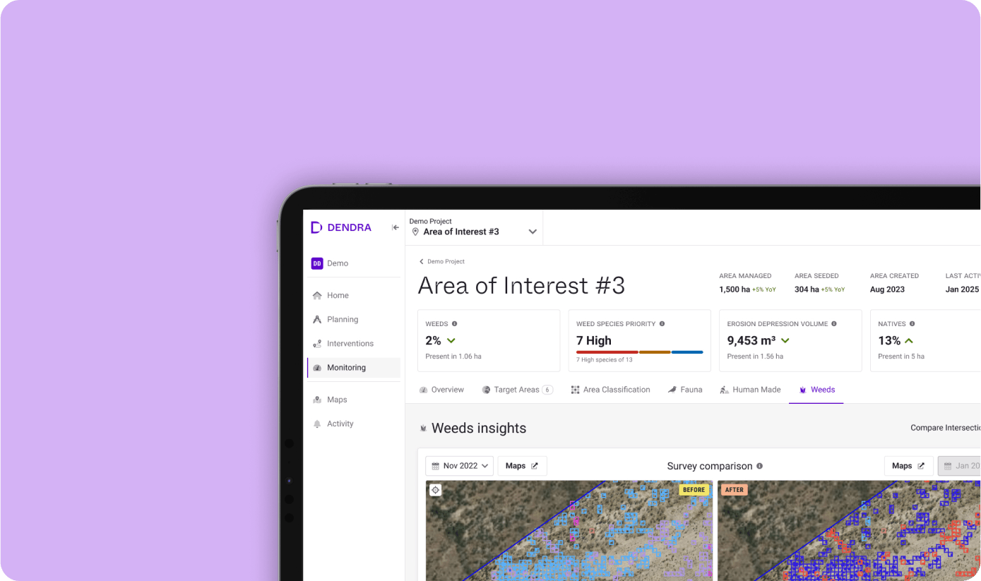
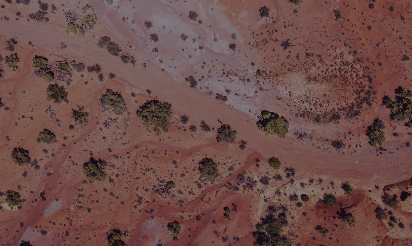
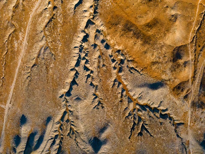
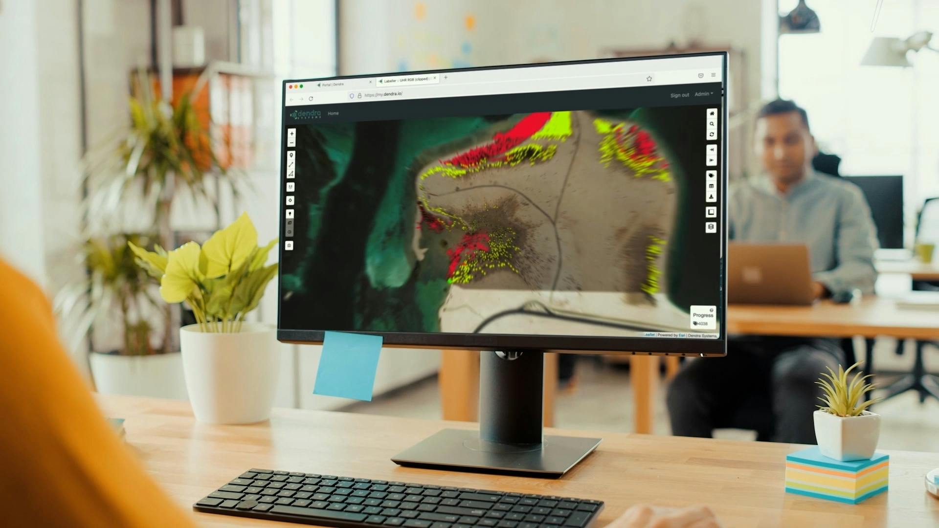
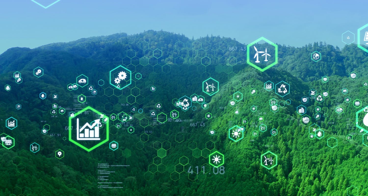
Access ultra-high-resolution maps, ecology-trained AI and remote sensing data on our powerful platform, equipping you with the highest quality information and analysis.
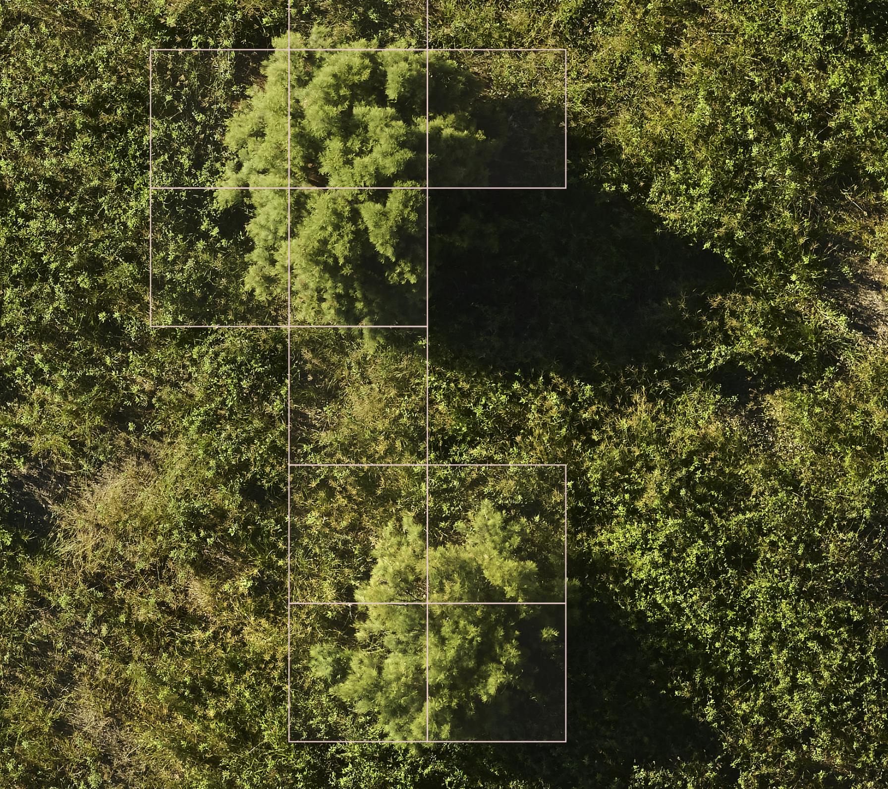
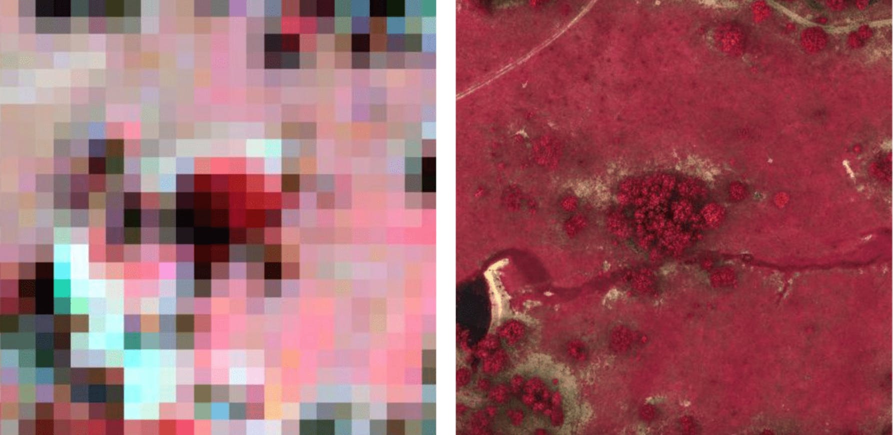
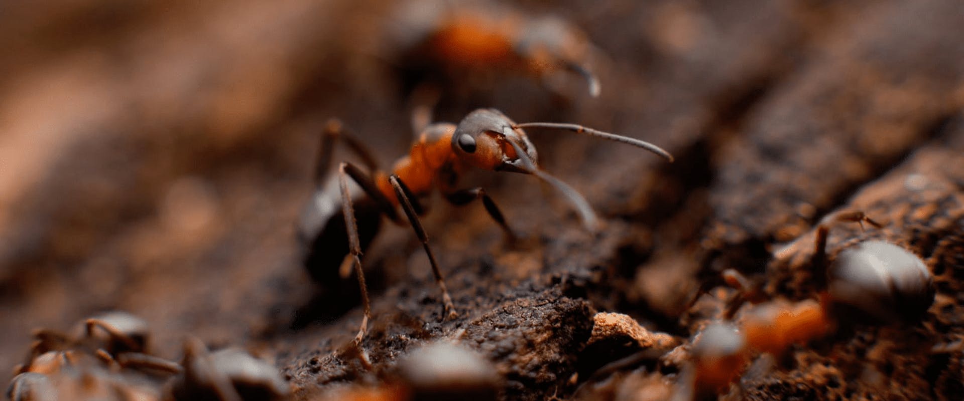
5.6mm²
Ground area shown with every pixel on our map.
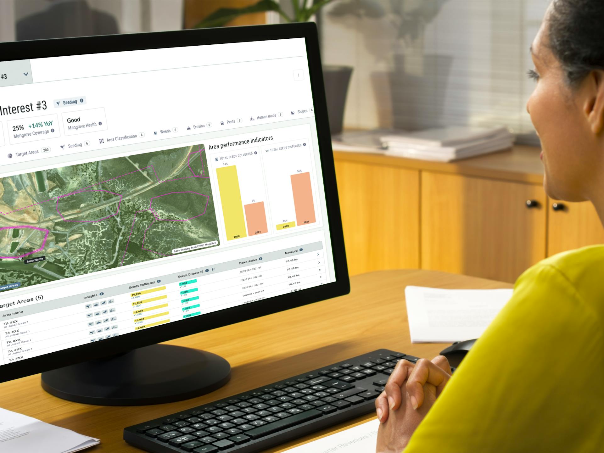
Receive in-depth insights at every stage of a project, empowering better decision-making and ensuring successful outcomes throughout its lifecycle.
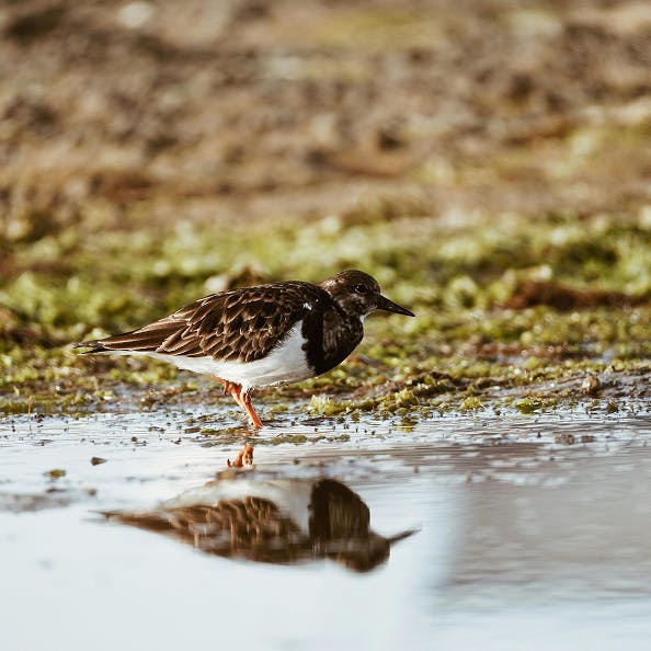
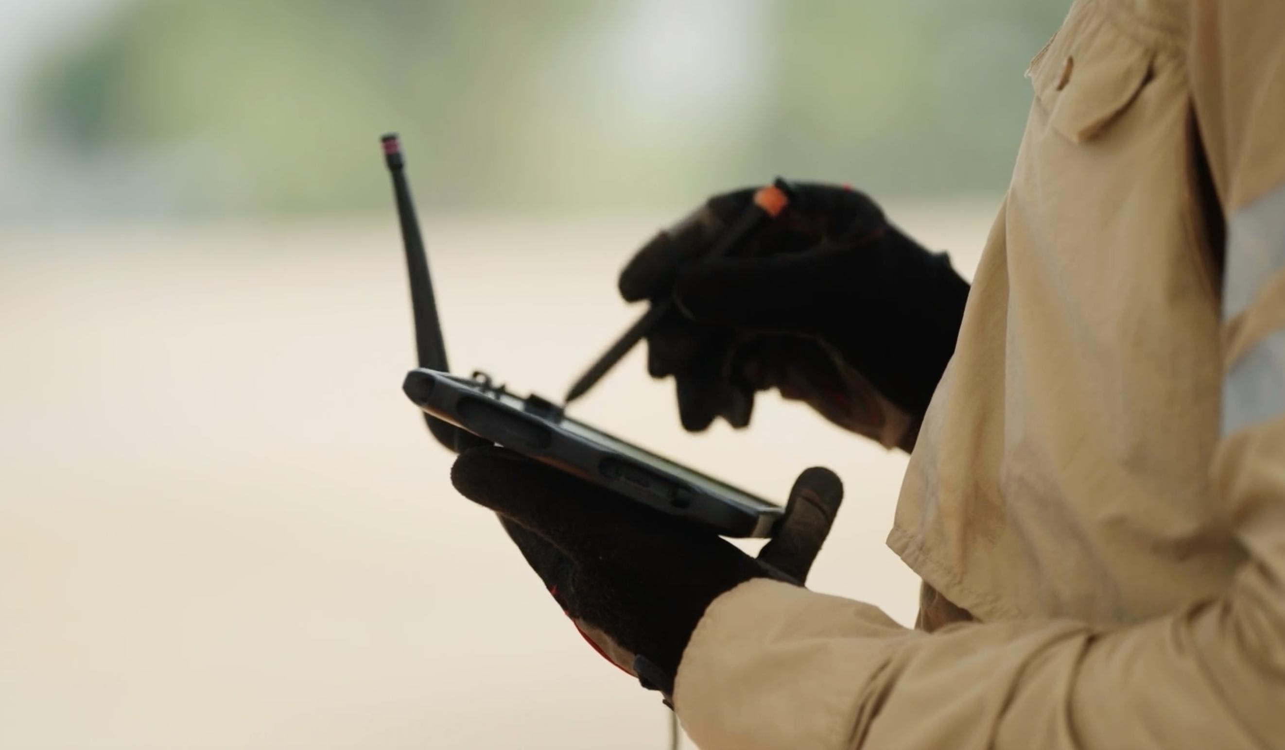
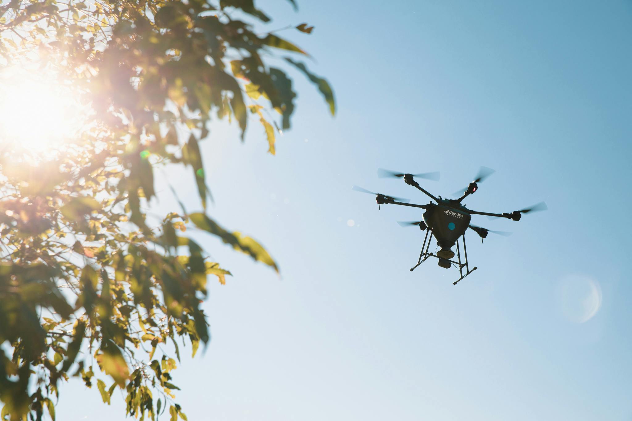
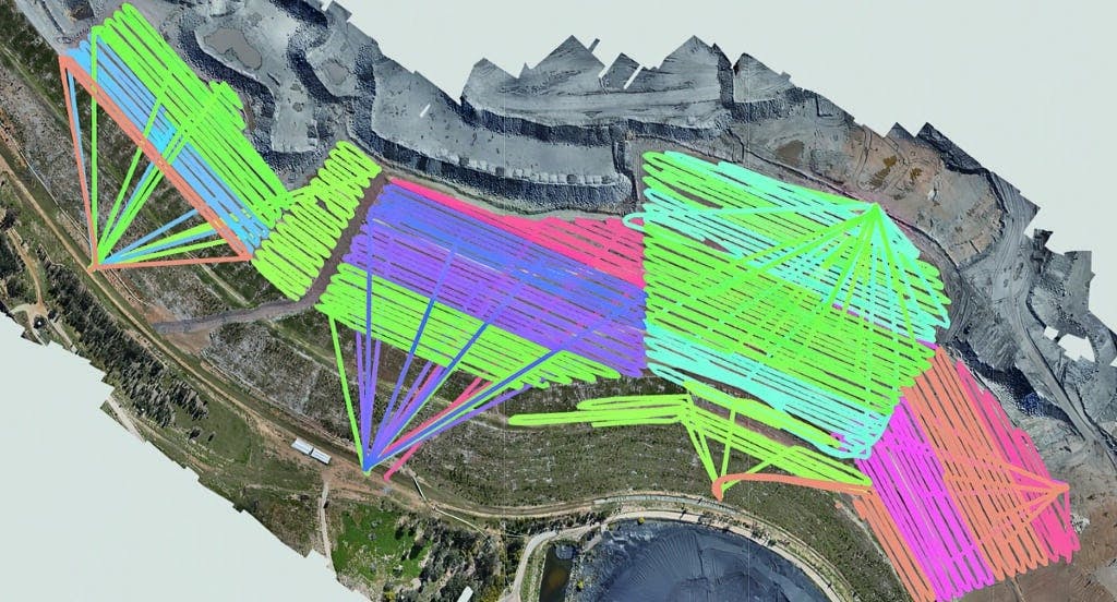
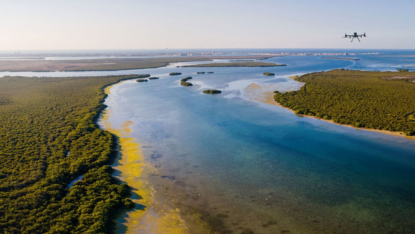
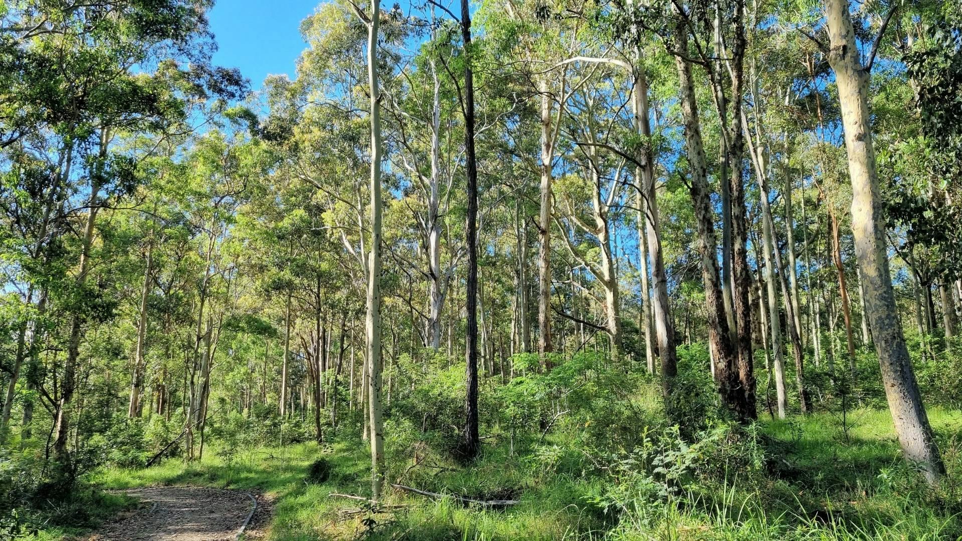
Survey 100% of large-scale sites and conduct digital flyovers. View baseline analysis of population health, area classification, land coverage and more.
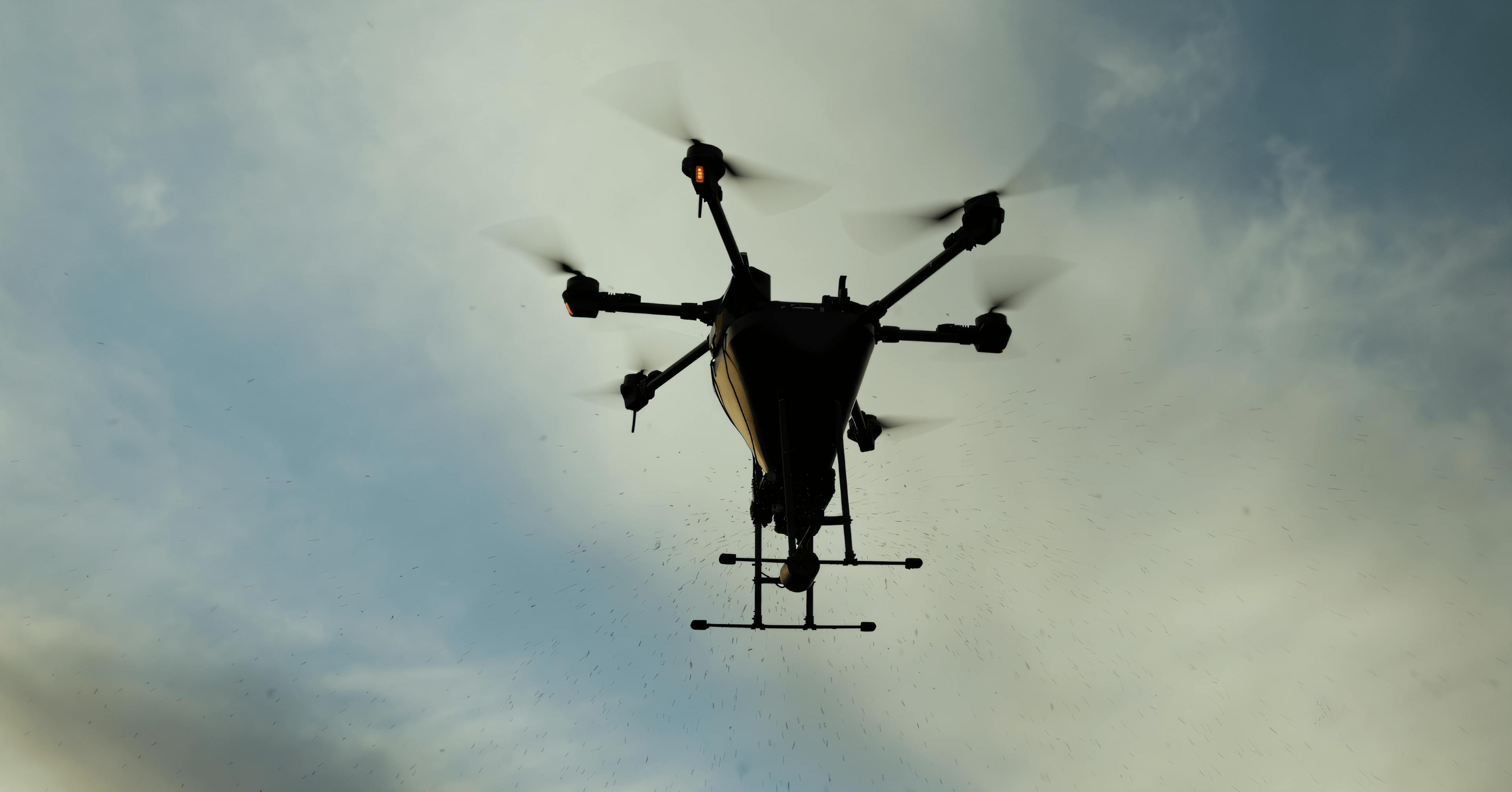
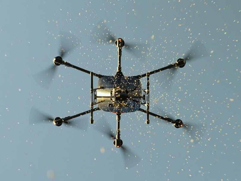
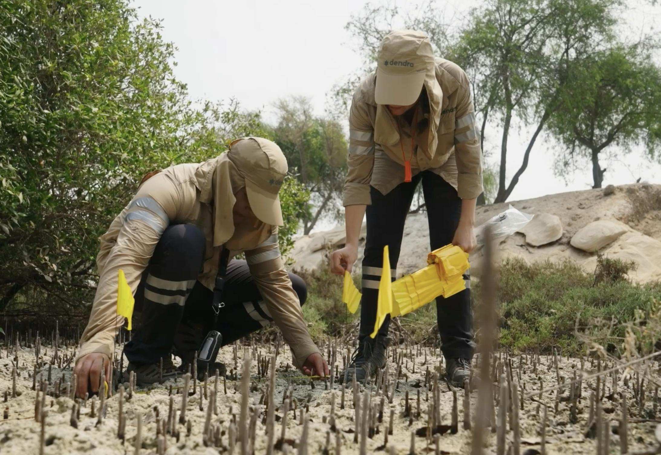
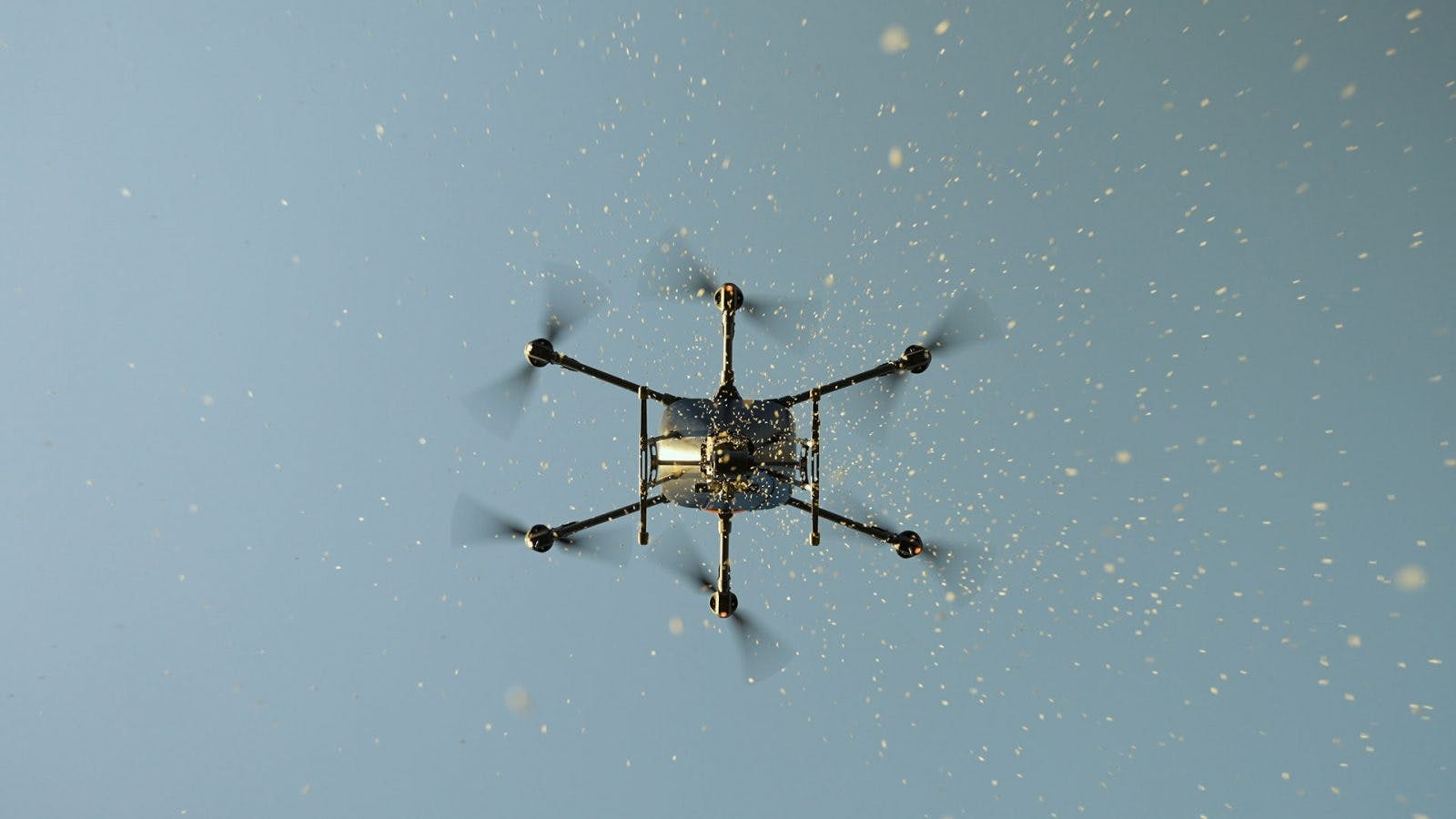
Combine on-site analysis with AI-powered insights to decide the most effective mangrove conservation methods. Implement innovative Dendra solutions like aerial seeding, or collaborate with third-parties on interventions like weed management.
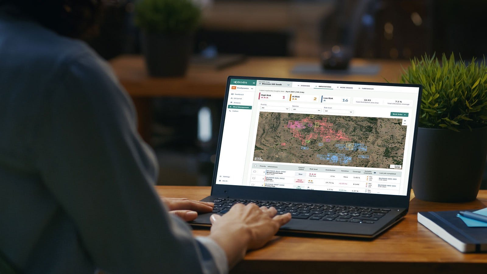
Better understand ecosystem dynamics with continuous visibility of data and insights to assess progress and inform restoration plans.
Demonstrate ROI and showcase the effectiveness of mangrove ecosystem actions. Guarantee transparent environmental reporting and facilitate stakeholder collaboration with multi-user access to the Dendra Platform.
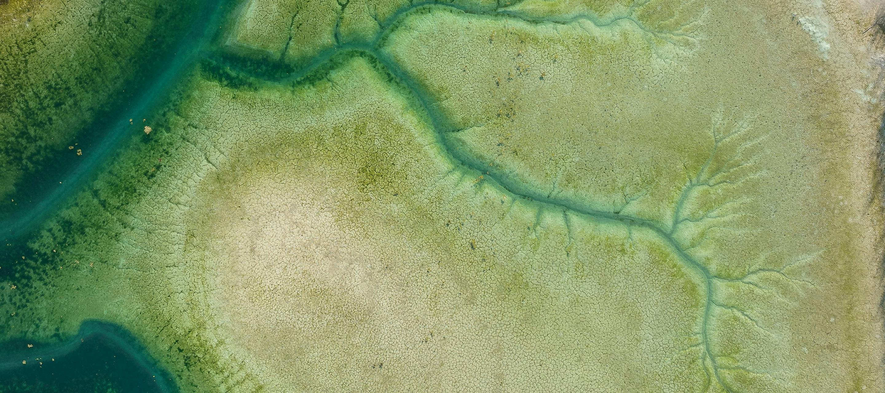
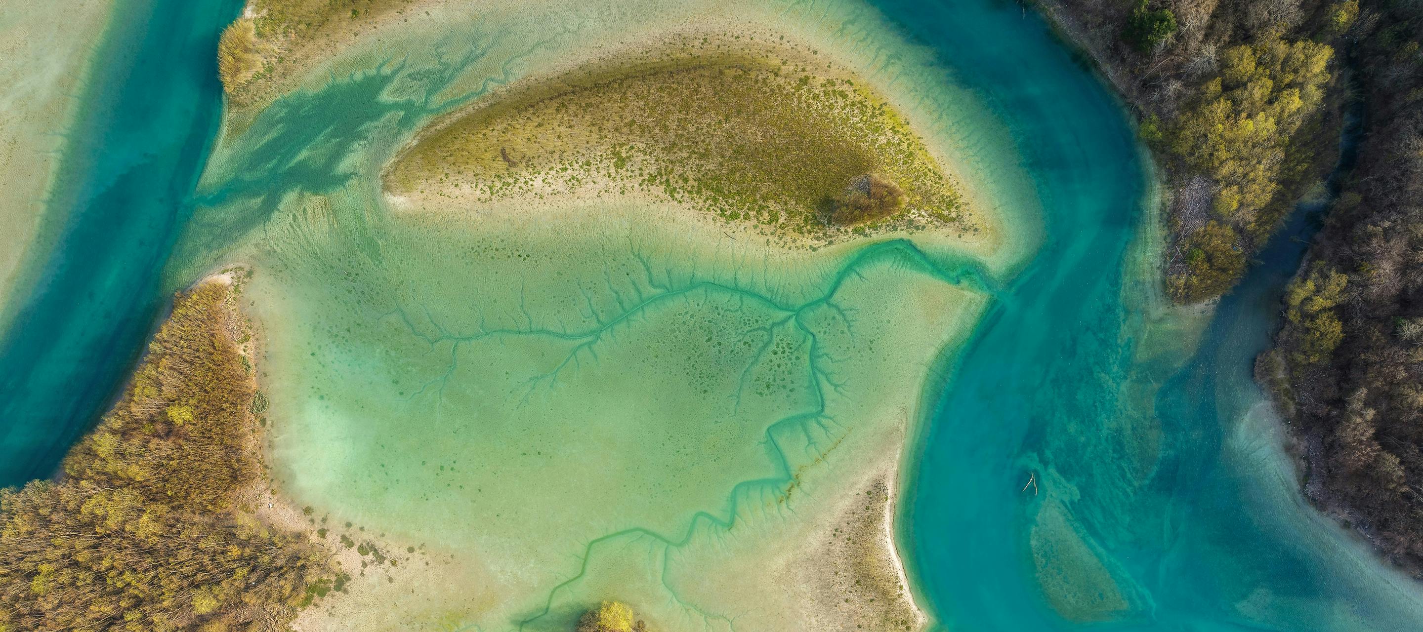
Bring clarity to the complexity of ecosystem management with Dendra’s Optical Intelligence.
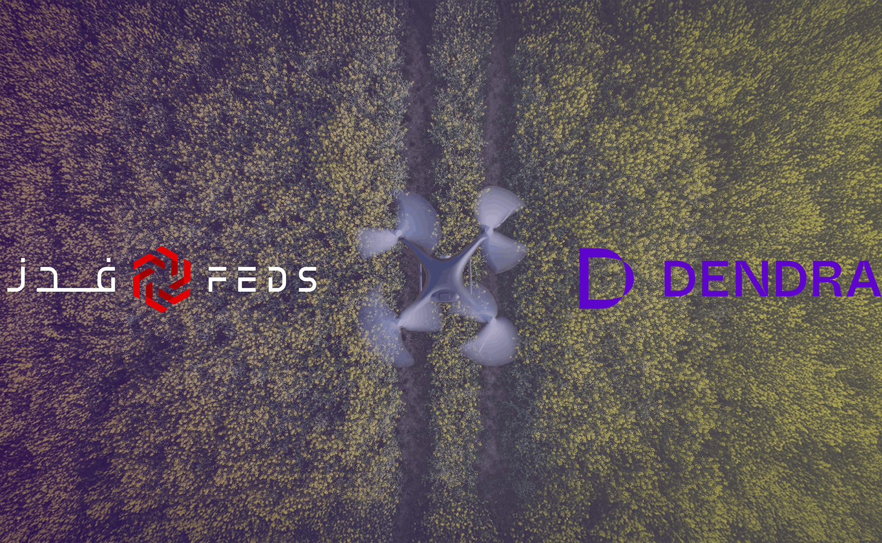
Dendra for


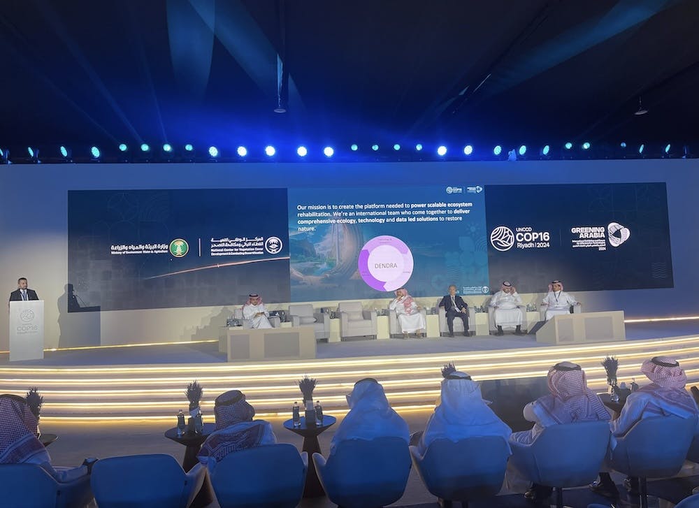


Want to know more? Contact us to see how we can support the management and restoration of large-scale ecosystems.