BACKGROUND
Established in 1988, Jellinbah Group is a privately owned and operated Queensland-based coal company. With a corporate Head Office in Brisbane, Australia and two current operations in Central Queensland’s Bowen Basin producing metallurgical coal.
Jellinbah Mine is located on the Tropic of Capricorn, near Bluff. Established in 1989, the mine is an open cut operation with overburden drilling and blasting, followed by conventional removal with truck and shovel and dozer push.
The Jellinbah coal is a low volatile bituminous coal with high specific energy and low ash – with the mine’s current production capacity at approximately 5M tonnes per year. Jellinbah Group’s operations support approximately 1,299 people, the majority of whom live in regional Queensland, each contributing to the economies of their hometowns and supporting local businesses, schools, and community endeavours.
As a privately owned company, the Jellinbah Group is focused on the safe operations of its mines, and the health and well-being of employees, communities, and the environment.
CHALLENGE
Jellinbah had historically used traditional survey methods including annual ecological ground surveys, quarterly aerial surveys, and regular on-ground inspections to inform their rehabilitation program. But the team believed that a new approach which leveraged new technology could provide more actionable insights to support their restoration objectives.
The annual analysis relied on up to 50 consultant-led transect surveys to inform rehab performance across the mine site rehabilitation areas. The quarterly aerial survey didn’t provide the detailed performance indicators beyond vegetation coverage and broad-scale species diversity that the team required.
The limitations of these traditional approaches and the increasing costs due to the size of the rehabilitation area meant that finding a more effective alternative became increasingly important.
The team decided to look for a new improved solution that could meet and enhance Jellinbah’s rehabilitation performance criteria, reporting requirements and deliver more comprehensive insights.
”"Dendra’s aerial surveys and data processing provide an essential tool for managing and reporting on rehabilitation outcomes for large areas.”
- Nigel Ryan, Senior Environmental Coordinator Jellinbah
SOLUTION
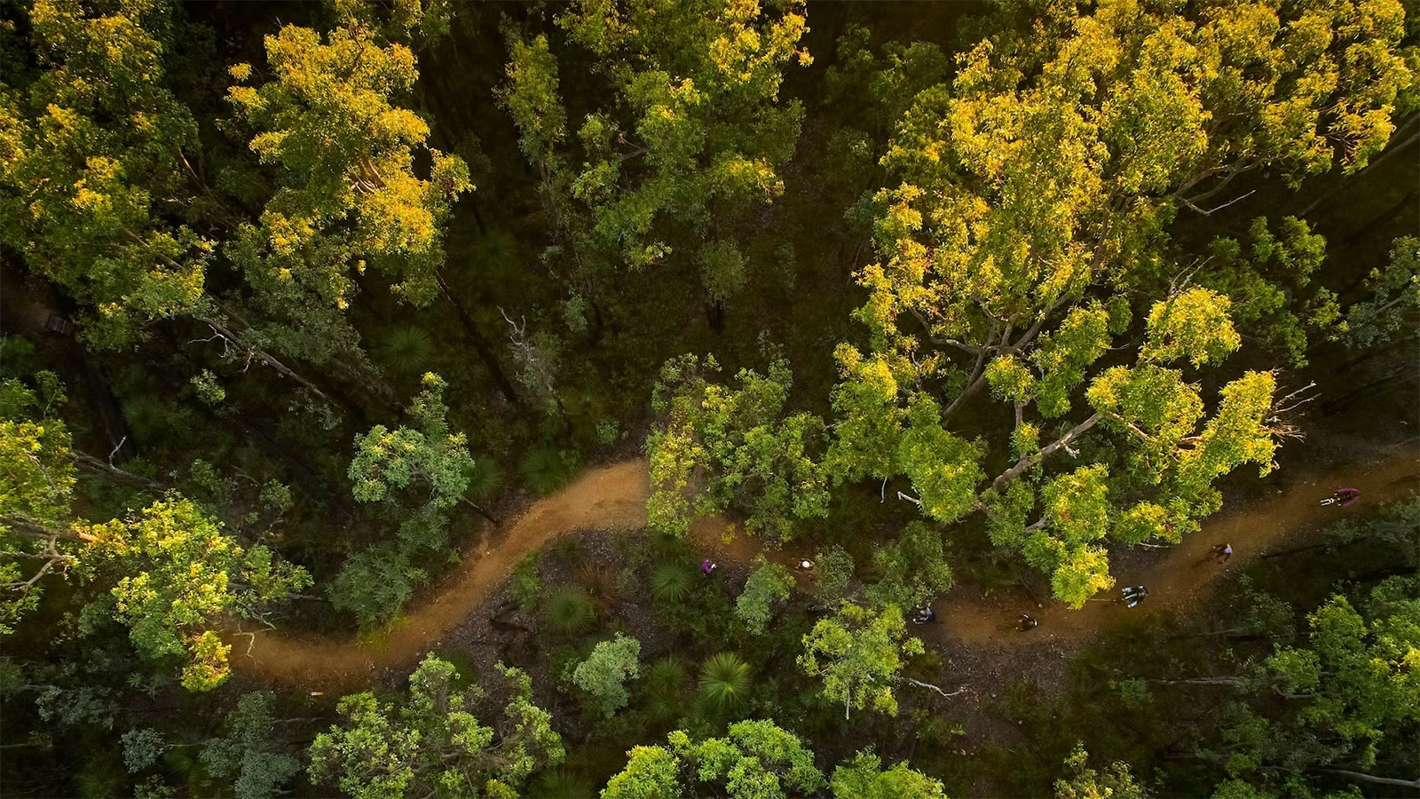
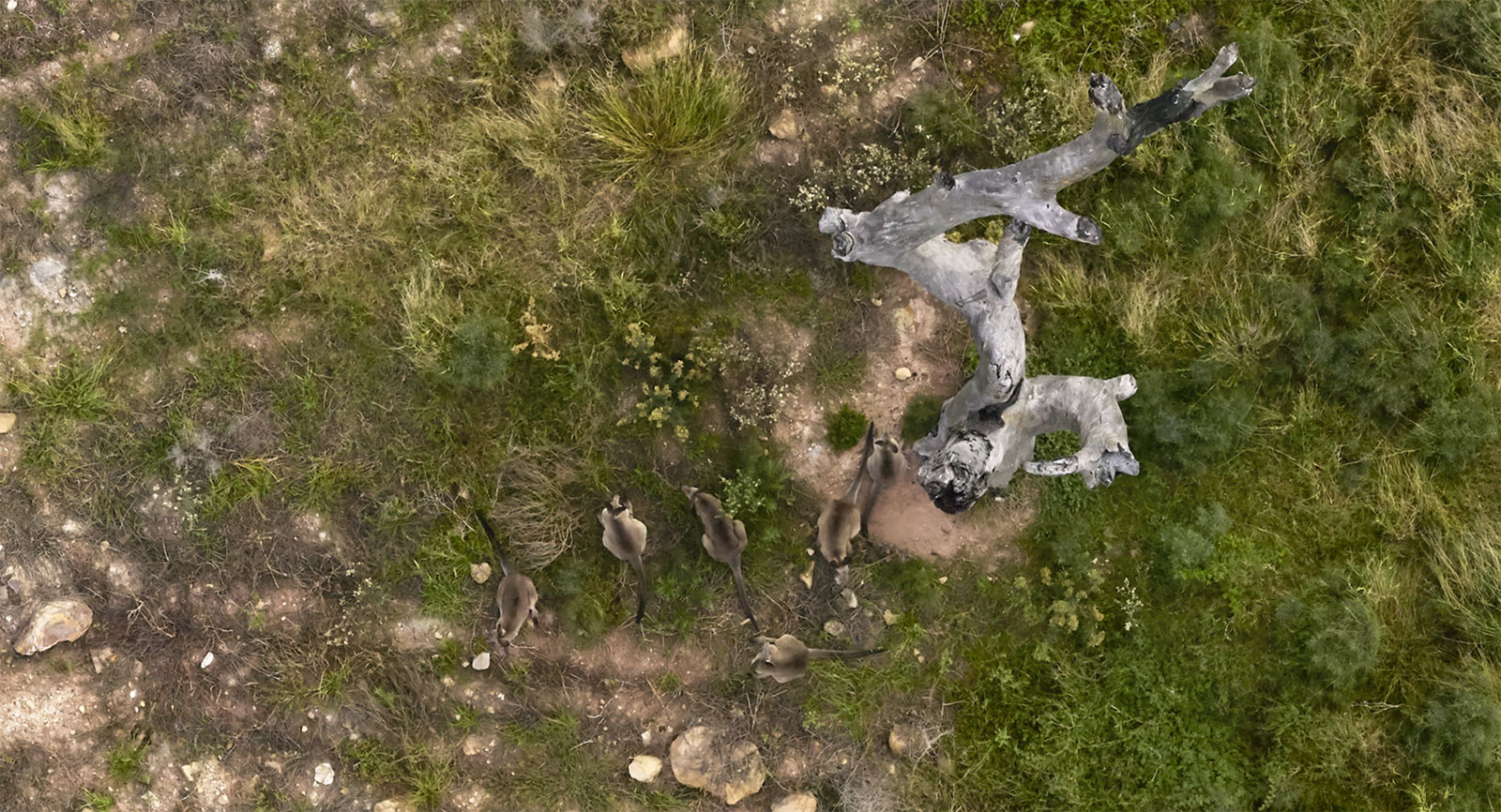
Dendra was chosen because it offers a more scalable, cost-effective monitoring solution which can accurately capture and analyse the entire rehabilitation site. The use of drones allows the entire site to be captured in a matter of days in high resolution rather than relying on the area sampling of traditional transect surveys. This remote sensing data is enhanced by Dendra’s ecology field team who ground truth the target species providing additional accuracy and confidence.
Once captured the high-resolution data is uploaded to the Dendra Platform, georeferenced and combined with satellite data to create a single photomosaic map. The data is then processed and analysed using ecology aware machine learning, enhanced by a 30+ team of data ecologists.
The Jellinbah team get a complete snapshot of the entire area and can see how rehabilitation is progressing. Armed with these new insights the team can better plan their annual rehabilitation programme and budget for the associated intervention costs.
Dendra’s whole site insights allow for more effective targeting of maintenance resources, focusing investment on nonperforming areas. This enables better decisions on how best to deploy valuable resources and ultimately supports improved rehabilitation outcomes. By providing detailed analysis Dendra enables the team to accurately assess the status of historic rehabilitation areas against agreed performance criteria and to make progress towards certification from the Department of the Environment.
With an increasing focus on environmental, social and governance (ESG) topics, the team believes that Dendra’s insights will play an important role. They will help to build a platform to engage and communicate with local landholders and communities and provide support to improve Jellinbah’s social licence to operate at a state, national and global level.
RESULTS
The Jellinbah and Dendra teams have developed a close partnership based on open communication, strong project management and a willingness to work together flexibly to address new requirements.
The benefits:
- Enhanced rehabilitation performance criteria
- More efficient and cost-effective deployment of resources
- Increased insights across the entire site
- Improved rehabilitation reporting
- Better identification and targeting of weed control programs
- Positive steps towards rehabilitation certification
”“Dendra is helping us to demonstrate to our community, regulatory and investor stakeholders that we are mining responsibly and providing environmentally sustainable outcomes for future generations”.
- Nigel Ryan, Senior Environmental Coordinator Jellinbah
Read more customer case studies